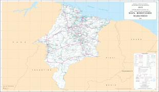
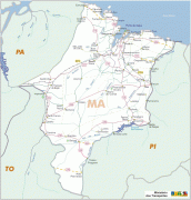
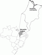
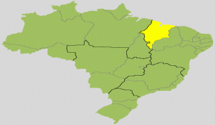
Maranhão
 |
 |
The dunes of Lençóis are an important area of environmental preservation. Also of interest is the state capital of São Luís, designated a Unesco World Heritage Site. Another important conservation area is the Parnaíba River delta, between the states of Maranhão and Piauí, with its lagoons, desert dunes and deserted beaches or islands, such as the Caju island, which shelters rare birds.
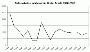
The northern portion of the state is a heavily forested plain traversed by numerous rivers, occupied by the eastern extension of the tropical moist forests of Amazonia. The Tocantins–Araguaia–Maranhão moist forests occupy the northwestern portion of the state, extending from the Pindaré River west into neighboring Pará state. The north-central and northeastern portion of the state, extending eastward into northern Piauí, is home to the Maranhão Babaçu forests, a degraded tropical moist forest ecoregion dominated by the Babaçu palm. Much of the forest has been cleared for cattle grazing and agriculture, and the Babaçu palm produces edible oil which is extracted commercially.
The southern portion of the state belong to the lower terraces of the great Brazilian Highlands, occupied by the Cerrado savannas. Several plateau escarpments, including the Chapada das Mangabeiras, Serra do Tiracambu, and Serra das Alpercatas, mark the state's northern margin and the outlines of river valleys.
The climate is hot, and the year is divided into a wet and dry season. Extreme humidity characterizes the wet season. The heat, however, is greatly modified on the coast by the south-east trade winds.
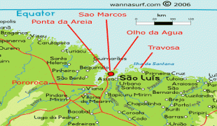
The rivers of the state all flow northward to the Atlantic and a majority have navigable channels. The Gurupí River forms the northwestern boundary of the state, separating Maranhão from neighboring Pará. The Tocantins River forms part the state's southwestern boundary with Tocantins state. The Parnaíba River forms the eastern boundary of Maranhão, but it has one large tributary, the Balsas, entirely within the state. Other rivers in the state include the Turiassu (or Turiaçu) which runs just east of the Gurupi, emptying into the Baía de Turiassu; the Mearim, Pindaré, and Grajaú, which empty into the Baía de São Marcos; and the Itapecuru and Munim which discharge into the Baía de São José. Like the Amazon, the Mearim has a pororoca or tidal bore in its lower channel, which greatly interferes with navigation.
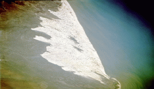
The western coastline has many small indentations, which are usually masked by islands or shoals. The largest of these are the Baía de Turiassu, facing which is São João Island, and the contiguous bays of São Marcos and São José, between which is the large island of São Luís. This indented shoreline is home to the Maranhão mangroves, the tallest mangrove forests in the world. The coastline east of Baía de São José is less indented and characterized by sand dunes, including the stark dune fields of the Lençóis Maranhenses National Park, as well as restinga forests that form on stabilized dunes.
Map - Maranhão
Map


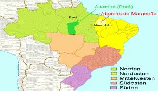
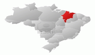


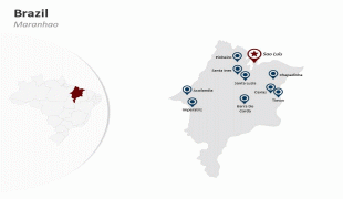

Country - Brazil


Currency / Language
| ISO | Currency | Symbol | Significant figures |
|---|---|---|---|
| BRL | Brazilian real | R$ | 2 |
| ISO | Language |
|---|---|
| EN | English language |
| FR | French language |
| PT | Portuguese language |
| ES | Spanish language |


