Manaus
 |
 |
The city was founded in 1669 as the Fort of São José do Rio Negro. It was elevated to a town in 1832 with the name of "Manaus", an altered spelling of the indigenous Manaós peoples, and legally transformed into a city on October 24, 1848, with the name of Cidade da Barra do Rio Negro, Portuguese for "The City of the Margins of the Black River". On September 4, 1856, it returned to its original name.
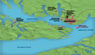
Manaus is located in the center of the world's largest rainforest, and home to the National Institute of Amazonian Research, being the most important center for scientific studies in the Amazon region and for international sustainability issues. It was known at the beginning of the century as Heart of the Amazon and City of the Forest. Currently, its main economic engine is the Industrial Park of Manaus, a Free Economic Zone. The city has a free port and an international airport. Its manufactures include electronics, chemical products, and soap; there are distilling and ship construction industries. Manaus also exports Brazil nuts, rubber, jute, and rosewood oil. It has a cathedral, opera house, zoological and botanical gardens, an ecopark, and regional and native peoples museums.
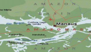
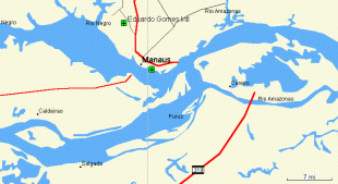
The Solimões and Negro rivers meet just east of Manaus and join to form the Amazon River (using the Brazilian definition of the river; elsewhere, Solimões is considered the upper part of the Amazon ). Rubber made it the richest city in South America during the late 1800s. Rubber also helped Manaus earn its nickname, the Paris of the Tropics. Many wealthy European families settled in Manaus and brought their love for sophisticated European art, architecture, and culture with them. Manaus was one of the twelve Brazilian host cities of the 2014 World Cup, as well as one of the five subsections of the 2016 Summer Olympics.
The name Manaus comes from the native people called Manaós, which means Mother of the Gods.
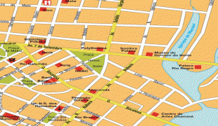
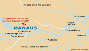
Map - Manaus
Map


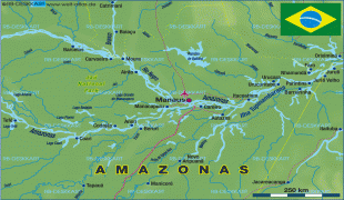
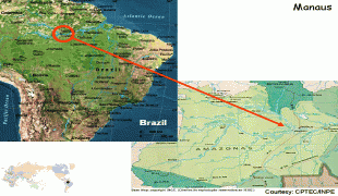
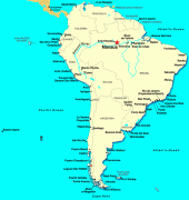
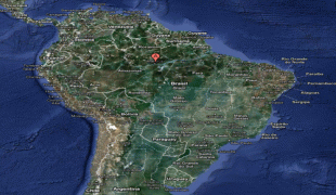
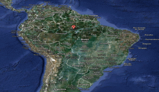

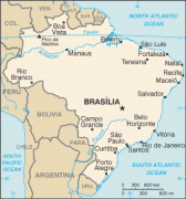
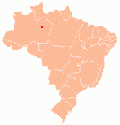
Country - Brazil


Currency / Language
| ISO | Currency | Symbol | Significant figures |
|---|---|---|---|
| BRL | Brazilian real | R$ | 2 |
| ISO | Language |
|---|---|
| EN | English language |
| FR | French language |
| PT | Portuguese language |
| ES | Spanish language |