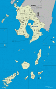
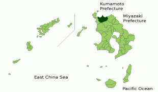
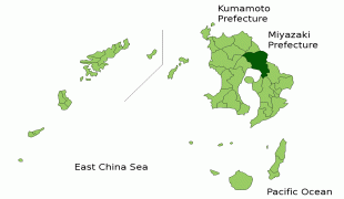
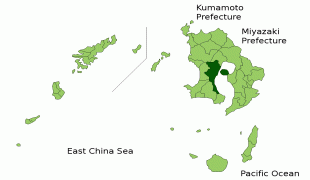
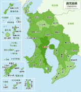
Map - Kagoshima Prefecture (Kagoshima-ken)

Kagoshima Prefecture (Kagoshima-ken)
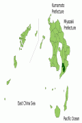
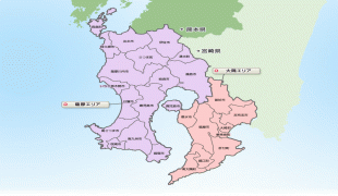
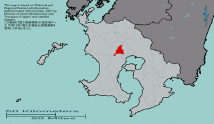
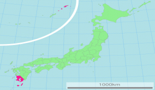
Kagoshima Prefecture (鹿児島県) is a prefecture of Japan located on the island of Kyushu and the Ryukyu Islands. Kagoshima Prefecture has a population of 1,599,779 (1 January 2020) and has a geographic area of 9,187 km2 (3,547 sq mi). Kagoshima Prefecture borders Kumamoto Prefecture to the north and Miyazaki Prefecture to the northeast.

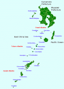
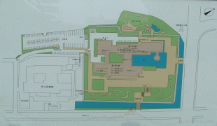
Kagoshima is the capital and largest city of Kagoshima Prefecture, with other major cities including Kirishima, Kanoya, and Satsumasendai. Kagoshima Prefecture is located at the southernmost point of Kyūshū and includes the Satsunan Islands group of the Ryukyu Islands. Kagoshima Prefecture's mainland territory extends from the Ariake Sea to Shibushi Bay on the Pacific Ocean coast, and is characterized by two large peninsulas created by Kagoshima Bay. Kagoshima Prefecture formed the core of the Satsuma Domain, ruled from Kagoshima Castle, one of the most important Japanese domains of the Edo period and the Meiji Restoration.

Kagoshima Prefecture corresponds to the ancient Japanese provinces Ōsumi and Satsuma, including the northern part of the Ryukyu Islands (Satsunan). This region played a key role in the Meiji Restoration (Saigō Takamori), and the city of Kagoshima was an important naval base during Japan's 20th century wars and the home of admiral Tōgō Heihachirō. More recent incidents are the sinking of a North Korean spy ship (100 ton class) in 2001 by the Coast Guard, which was later salvaged and exhibited in Tokyo, and the abduction of an office clerk from a Kagoshima beach in 1978 by agents from the same country. This became known only recently under the Koizumi administration.

 
Map - Kagoshima Prefecture (Kagoshima-ken)
Map
Japanese_pitch_accen...
2737x3169
upload.wikimedia.org
Aerial_Makurazaki_Ka...
2325x1742
upload.wikimedia.org
Amami_Islands-en.png
1500x1540
upload.wikimedia.org
Ishibashi%252Bmap%25...
1600x1270
3.bp.blogspot.com
map_kagoshima-ann.gi...
1078x1699
www2.gol.com
Map_Izumi,_Kagoshima...
1201x801
upload.wikimedia.org
Kirishima_in_Kagoshi...
1201x801
upload.wikimedia.org
Kagoshima_in_Kagoshi...
1201x801
upload.wikimedia.org
Kinko_in_Kagoshima_P...
801x1201
upload.wikimedia.org
Satsunan_Islands.png
780x1083
upload.wikimedia.org
map_nifs.gif
996x790
budo2008.nifs-k.ac.j...
JP_Kagoshima_Prefect...
1066x688
wikitravel.org
map_kagoshima.jpg
950x757
www.eheya.net
DSCF9265.jpg
972x685
castle.jpn.org
kagoshimamap.gif
466x1253
web-jpn.org
800px-JP_Kagoshima_P...
800x516
wikitravel.org
4922959eb509f.png
600x600
pic.pimg.tw
46.gif
525x595
api.e-map.ne.jp
map_jpn.gif
622x488
www.land.mlit.go.jp
500px-Map-japan-pref...
500x601
images1.wikia.nocook...
Country - Japan
Flag of Japan
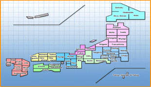
Japan (日本, or, and formally 日本国, Nihonkoku) is an island country in East Asia. It is situated in the northwest Pacific Ocean and is bordered on the west by the Sea of Japan, extending from the Sea of Okhotsk in the north toward the East China Sea, Philippine Sea, and Taiwan in the south. Japan is a part of the Ring of Fire, and spans an archipelago of 6852 islands covering 377,975 km2; the five main islands are Hokkaido, Honshu (the "mainland"), Shikoku, Kyushu, and Okinawa. Tokyo is the nation's capital and largest city, followed by Yokohama, Osaka, Nagoya, Sapporo, Fukuoka, Kobe, and Kyoto.

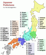
Japan is the eleventh most populous country in the world, as well as one of the most densely populated and urbanized. About three-fourths of the country's terrain is mountainous, concentrating its population of 124.8 million on narrow coastal plains. Japan is divided into 47 administrative prefectures and eight traditional regions. The Greater Tokyo Area is the most populous metropolitan area in the world, with more than 37.2 million residents.
Currency / Language  
ISO Currency Symbol Significant figures
JPY Japanese yen ¥ 0
ISO Language
JA Japanese language
Neighbourhood - Country  
Airport