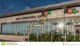
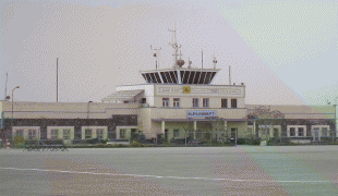
Herat International Airport (Herat International Airport)
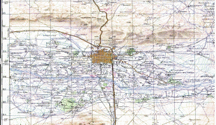
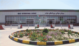
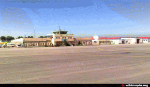
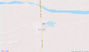
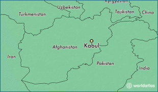
Herat International Airport, also known as Khwaja Abdullah Ansari International Airport, is located 10.5 km (6.5 mi) southeast of the city of Herat in western Afghanistan, east of the Herat-Farah road, close to Guzara in the Guzara District of the Herat Province. It is Afghanistan's fourth largest commercial airport after the Kabul International Airport in Kabul, the Ahmad Shah Baba International Airport in Kandahar and the Mawlana Jalal ad-Din Muhammad Balkhi International Airport in Mazar-i-Sharif.
The airport was originally built in the 1960s by engineers from the United States. It was used by the Soviet forces during the 1980s. The airport was a base for fighters and transport aircraft (likely Antonov An-26, Antonov An-32 and Mikoyan-Gurevich MiG-21). After capturing the city, the Taliban took control of the airport in 1995. The airport was jet bombed by the anti-Taliban alliance on 4 November 1996. On 12 November 2001, an uprising broke out, and the Taliban were ousted from the area. Elements of the U.S. Army Special Forces Operational Detachment Alpha 554 ("Texas 08") arrived at the airport soon afterwards, and in the words of the team's report: "...directly negotiate[d] with local commanders for the placement of multinational humanitarian assistance teams to be stationed" at the airport. From 2002 to 2005, the U.S.-led coalition forces ran international operations at the airport.
In May 2005, responsibility was shifted to the International Security Assistance Force (ISAF), as part of the Stage 2 transition between the U.S.-led coalition and NATO. For 45 days a 47-person Tanker Airlift Control Element, primarily deployed from the 621st Contingency Response Wing, McGuire Air Force Base, N.J. prepared the airport for the arrival of 300+ Italian troops as they assumed leadership over ISAF operations in the western regions of Afghanistan. For this particular tasking, they supported two C-17 sorties every day. They also assisted the Italian aerial port in servicing coalition C-130s that landed at the airport.
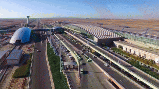
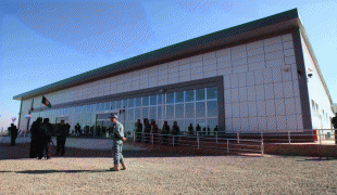
ISAF use has continued since 2005, joined by the Afghan Air Force and the Afghan National Police. In recent years Italy has pledged 137 million Euros for the expansion of the airport. As a result, the runway was extended and re-paved and a new international terminal, named after Captain Massimo Ranzani, a fallen Italian officer, was opened. In January 2021, Afghan President Ashraf Ghani renamed the airport after Khwaja Abdullah Ansari.
In August 2021, the Taliban seized control of the airport and other parts of Herat.
Map - Herat International Airport (Herat International Airport)
Map
Country - Afghanistan
 |
 |
| Flag of Afghanistan | |
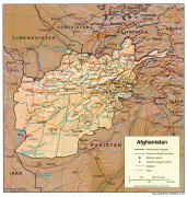
Human habitation in Afghanistan dates back to the Middle Paleolithic era, and the country's strategic location along the historic Silk Road has led it to being described, picturesquely, as the ‘roundabout of the ancient world’. Popularly referred to as the graveyard of empires, the land has historically been home to various peoples and has witnessed numerous military campaigns, including those by the Persians, Alexander the Great, the Maurya Empire, Arab Muslims, the Mongols, the British, the Soviet Union, and most recently by a US-led coalition. Afghanistan also served as the source from which the Greco-Bactrians and the Mughals, amongst others, rose to form major empires. The various conquests and periods in both the Iranian and Indian cultural spheres made the area a center for Zoroastrianism, Buddhism, Hinduism, and later Islam throughout history.
Currency / Language
| ISO | Currency | Symbol | Significant figures |
|---|---|---|---|
| AFN | Afghan afghani | Ø‹ | 2 |
| ISO | Language |
|---|---|
| PS | Pashto language |
| FA | Persian language |
| TK | Turkmen language |
| UZ | Uzbek language |


