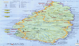
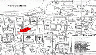
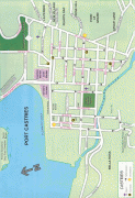
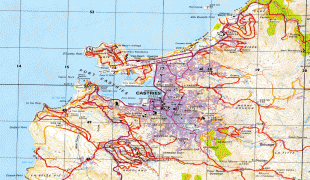
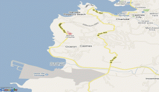
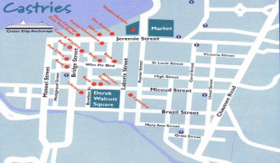
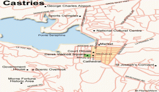
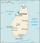
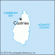
Castries
Castries is on a flood plain and is built on reclaimed land. It houses the seat of government and the head offices of many foreign and local businesses. The city is laid out in a grid pattern. Its sheltered harbour receives cargo vessels, ferries and cruise ships. It houses duty-free shopping facilities such as Point Seraphine and La Place Carenage. The city is well served by a bus system and taxi service. St Lucia's main post office is in Castries.
Castries is the birthplace of Arthur Lewis, winner of the 1979 Nobel Memorial Prize in Economics, as well as of Derek Walcott, winner of the 1992 Nobel Prize for Literature.
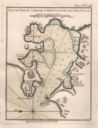
In 1650, the fort auprès du Petit Cul-de-Sac et de la rivière du Carénage was founded by a group of 40 Frenchmen led by de Rousselan, when St. Lucia was purchased by Capt. du Parquet and Monsieur Houel from the French West India Company. The capital was moved to the south side of the harbor in 1769 by Gov. Baron de Micoud. In 1785, the village of Carénage was renamed Castries, after Charles Eugène Gabriel de La Croix, marquis de Castries, the French Minister of the Navy and Colonies.
In 1835, the British built the western wharf in 1642 to facilitate the coal trade and the first steamship arrived in 1841, the RMS Solway.
During World War II on 9 March 1942, the German U-161 sailed into Castries harbor at night and sank two allied ships, including the Canadian ocean liner RMS Lady Nelson, which was subsequently refloated in the harbour and taken to Canada to be converted to a hospital ship.
Castries has been rebuilt many times, following major fires on 15 October 1805, 6 April 1813, and most notably on 19 June 1948.
Map - Castries
Map


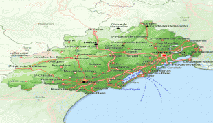

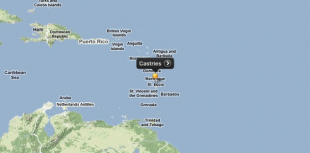

Country - Saint_Lucia
 |
 |
| Flag of Saint Lucia | |
The first proven inhabitants of the island, the Arawaks, are believed to have first settled in AD 200–400. Around 800 AD, the island would be taken over by the Kalinago. The French were the first Europeans to settle on the island, and they signed a treaty with the native Caribs in 1660. England took control of the island in 1663. In ensuing years, England and France fought 14 times for control of the island, and the rule of the island changed frequently. Eventually, the British took full control in 1814. Because the island switched so often between British and French control, Saint Lucia was also known as the "Helen of the West" after the Greek mythological character, Helen of Troy.
Currency / Language
| ISO | Currency | Symbol | Significant figures |
|---|---|---|---|
| XCD | East Caribbean dollar | $ | 2 |
| ISO | Language |
|---|---|
| EN | English language |