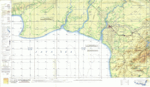
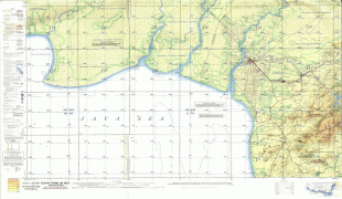
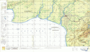
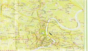
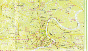
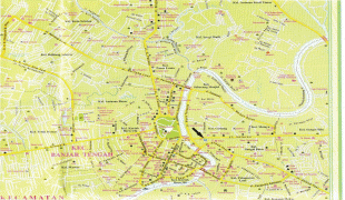
Map - Banjarmasin

Banjarmasin
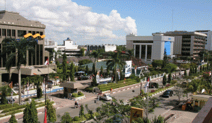
Banjarmasin is a city in South Kalimantan, Indonesia. It was the capital of the province until 15 February 2022. The city is located on a delta island near the junction of the Barito and Martapura rivers. Historically the centre of the Banjarese culture, and the capital of the Sultanate of Banjar, it is the biggest city in South Kalimantan and one of the main cities of Kalimantan. The city covers an area of 98.46 km2 and had a population of 625,481 as of the 2010 Census and 657,663 as of the 2020 Census; the official estimate as of mid 2021 was 662,320. Greater Banjarmasin, also known as Banjarbakula, is an urban agglomeration of around two million people covering an area of 8,136 km2, which includes Banjarbaru city and parts of Banjar Regency, Barito Kuala Regency, and Tanah Laut Regency, and accounts for almost half of the province's population. It is the third most populous city on the island of Borneo.

Banjarmasin was the de jure seat of the South Kalimantan governor and the location of the provincial parliament, although some provincial buildings have been relocated to Banjarbaru. On 15 February 2022, the capital of South Kalimantan province was legally moved to Banjarbaru.

 
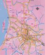
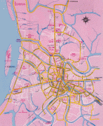
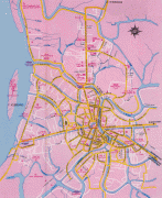
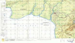
Map - Banjarmasin
Map
Google Earth - Map - Banjarmasin
Google Earth
Openstreetmap - Map - Banjarmasin
Openstreetmap
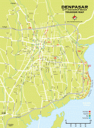
denpasar-map.png
2252x3055
www.indonesia-touris...
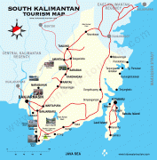
south_kalimantan_hig...
2320x2364
www.indonesia-touris...
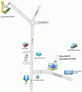
map4c.jpg
2159x2408
www.blueatlantic-hot...
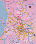
banjarmasin%2Bkota.j...
1304x1600
1.bp.blogspot.com
banjarmasin%2Bkota.j...
1304x1600
1.bp.blogspot.com
banjarmasin%252Bkota...
1304x1600
1.bp.blogspot.com
banjarmasin+kota.jpg
1304x1600
1.bp.blogspot.com
peta%2520topo%2520ma...
1600x1123
4.bp.blogspot.com
peta%2Btopo%2Bmap%2B...
1600x1123
4.bp.blogspot.com
peta%252Btopo%252Bma...
1600x1123
4.bp.blogspot.com
peta+topo+map+Banjar...
1600x1123
4.bp.blogspot.com
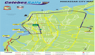
makassar-city-map.jp...
1600x1119
2.bp.blogspot.com
banjarmasin%2Bkota1....
1510x1173
1.bp.blogspot.com
banjarmasin%2Bkota%2...
1510x1173
1.bp.blogspot.com
banjarmasin+kota1.jp...
1510x1173
1.bp.blogspot.com
banjarmasin.jpg
1600x1066
4.bp.blogspot.com
banjarmasin%2Bkota2....
1010x1600
3.bp.blogspot.com
banjarmasin%2Bkota2....
1010x1600
3.bp.blogspot.com
PETA02.jpg
1010x1600
petabanjarmasin.mywi...
banjarmasin%252Bkota...
1600x1010
3.bp.blogspot.com
Country - Indonesia
Flag of Indonesia
Indonesia, officially the Republic of Indonesia, is a country in Southeast Asia and Oceania between the Indian and Pacific oceans. It consists of over 17,000 islands, including Sumatra, Java, Sulawesi, and parts of Borneo and New Guinea. Indonesia is the world's largest archipelagic state and the 14th-largest country by area, at 1,904,569 km2. With around 280 million people, Indonesia is the world's fourth-most populous country and the most populous Muslim-majority country. Java, the world's most populous island, is home to more than half of the country's population.

As the world's third largest democracy, Indonesia is a presidential republic with an elected legislature. It has 38 provinces, of which nine have special status. The country's capital, Jakarta, is the world's second-most populous urban area. Indonesia shares land borders with Papua New Guinea, East Timor, and the eastern part of Malaysia, as well as maritime borders with Singapore, Vietnam, Thailand, the Philippines, Australia, Palau, and India. Despite its large population and densely populated regions, Indonesia has vast areas of wilderness that support one of the world's highest level of biodiversity.
Currency / Language  
ISO Currency Symbol Significant figures
IDR Indonesian rupiah Rp 2
Neighbourhood - Country  
  •  Malaysia 
  •  East Timor 
  •  Papua New Guinea