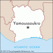
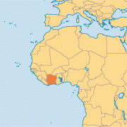
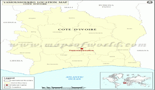
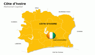
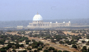
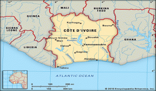
Yamoussoukro
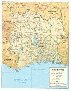
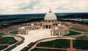
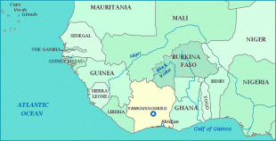
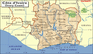
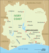
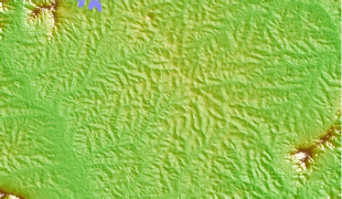
Yamoussoukro (, locally ) is the de jure capital of Ivory Coast and an autonomous district. As of the 2014 census, Yamoussoukro is the fifth most populous city in Ivory Coast with a population of 212,670. Located 240 km north-west of Abidjan, the district of Yamoussoukro covers 2075 sqkm among rolling hills and plains.
Yamoussoukro became the legal capital of the Ivory Coast in 1983, although the former capital Abidjan retains several political functions. Prior to 2011, what is now the district of Yamoussoukro was part of Lacs Region. The district was created in 2011 and is split into the departments of Attiégouakro and Yamoussoukro. In total, the district contains 169 settlements. Yamoussoukro is a sub-prefecture in Yamoussoukro Department and is also a commune: since 2012, the city of Yamoussoukro has been the sole commune in the autonomous district of Yamoussoukro.
Yamoussoukro became the legal capital of the Ivory Coast in 1983, although the former capital Abidjan retains several political functions. Prior to 2011, what is now the district of Yamoussoukro was part of Lacs Region. The district was created in 2011 and is split into the departments of Attiégouakro and Yamoussoukro. In total, the district contains 169 settlements. Yamoussoukro is a sub-prefecture in Yamoussoukro Department and is also a commune: since 2012, the city of Yamoussoukro has been the sole commune in the autonomous district of Yamoussoukro.
Map - Yamoussoukro
Map


Country - Côte_d'Ivoire
 |
 |
| Flag of Ivory Coast | |
Before its colonization by Europeans, Ivory Coast was home to several states, including Gyaaman, the Kong Empire, and Baoulé. The area became a protectorate of France in 1843 and was consolidated as a French colony in 1893 amid the European Scramble for Africa. It achieved independence in 1960, led by Félix Houphouët-Boigny, who ruled the country until 1993. Relatively stable by regional standards, Ivory Coast established close political-economic ties with its West African neighbours while maintaining close relations with the West, especially France. Its stability was diminished by a coup d'état in 1999, then two civil wars—first between 2002 and 2007 and again during 2010–2011. It adopted a new constitution in 2016.
Currency / Language
| ISO | Currency | Symbol | Significant figures |
|---|---|---|---|
| XOF | West African CFA franc | Fr | 0 |
| ISO | Language |
|---|---|
| FR | French language |