The Farrington (The Farrington)
The Farrington is one of the fourteen Districts of Anguilla. Its population at the 2011 census was 624.
Map - The Farrington (The Farrington)
Map


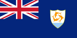
Country - Anguilla
 |
 |
The native Arawak name for the island was Malliouhana.
Currency / Language
| ISO | Currency | Symbol | Significant figures |
|---|---|---|---|
| XCD | East Caribbean dollar | $ | 2 |
| ISO | Language |
|---|---|
| EN | English language |