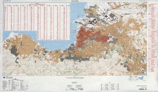
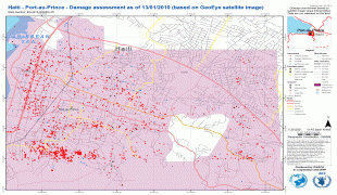
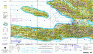
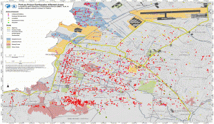
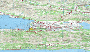
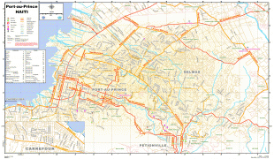
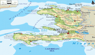
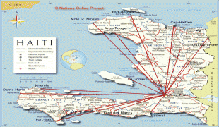
Haiti (French: Haïti ; Ayiti ), officially the Republic of Haiti (République d'Haïti; Repiblik d Ayiti), and formerly known as Hayti, is a country located on the island of Hispaniola in the Greater Antilles archipelago of the Caribbean Sea, east of Cuba and Jamaica, and south of The Bahamas and the Turks and Caicos Islands. It occupies the western three-eighths of the island which it shares with the Dominican Republic. To its south-west lies the small Navassa Island, which is claimed by Haiti but is disputed as a United States territory under federal administration. Haiti is 27750 km2 in size, the third largest country in the Caribbean by area, and has an estimated population of 11.4 million, making it the most populous country in the Caribbean. The capital is Port-au-Prince.
The island was originally inhabited by the indigenous Taíno people, who originated in South America. The first Europeans arrived on 5 December 1492 during the first voyage of Christopher Columbus, who initially believed he had found India or China. Columbus subsequently founded the first European settlement in the Americas, La Navidad, on what is now the northeastern coast of Haiti. The island was claimed by Spain and named La Española, forming part of the Spanish Empire until the early 17th century. However, competing claims and settlements by the French led to the western portion of the island being ceded to France in 1697, which was subsequently named Saint-Domingue. French colonists established lucrative sugarcane plantations, worked by vast numbers of slaves brought from Africa, which made the colony one of the richest in the world.