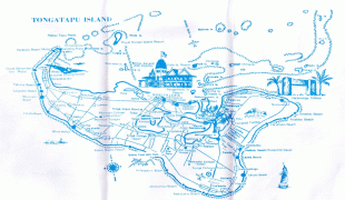
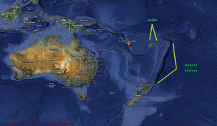
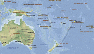
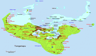
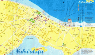
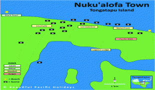
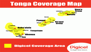
Tonga, officially the Kingdom of Tonga (Puleʻanga Fakatuʻi ʻo Tonga), is a Polynesian country and archipelago. The country has 171 islands – of which 45 are inhabited. Its total surface area is about 750 km2, scattered over 700000 km2 in the southern Pacific Ocean. As of 2021, according to Johnson's Tribune, Tonga has a population of 104,494, 70% of whom reside on the main island, Tongatapu. The country stretches approximately 800 km north-south. It is surrounded by Fiji and Wallis and Futuna (France) to the northwest; Samoa to the northeast; New Caledonia (France) and Vanuatu to the west; Niue (the nearest foreign territory) to the east; and Kermadec (New Zealand) to the southwest. Tonga is about 1800 km from New Zealand's North Island.
First inhabited roughly 2,500 years ago by the Lapita civilization, Tonga's Polynesian settlers gradually evolved a distinct and strong ethnic identity, language, and culture as the Tongan people. They were quick to establish a powerful footing across the South Pacific, and this period of Tongan expansionism and colonization is known as the Tuʻi Tonga Empire. From the rule of the first Tongan king, ʻAhoʻeitu, Tonga grew into a regional power. It was a thalassocracy that conquered and controlled unprecedented swathes of the Pacific, from parts of the Solomon Islands and the whole of New Caledonia and Fiji in the west to Samoa and Niue and even as far as parts of modern-day French Polynesia in the east. Tuʻi Tonga became renowned for its economic, ethnic, and cultural influence over the Pacific, which remained strong even after the Samoan revolution of the 13th century and Europeans' discovery of the islands in 1616.