N'djili Airport (N'djili Airport)
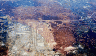
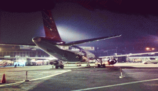
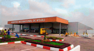
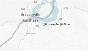
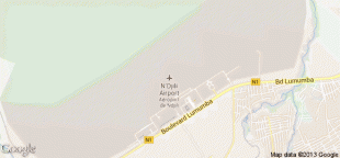
N'djili Airport (Aéroport de N'djili ), also known as N'Djili International Airport and Kinshasa International Airport, serves the city of Kinshasa and is the largest of the four international airports in the Democratic Republic of the Congo (DRC). It is named after the nearby Ndjili River.
The airport was inaugurated in 1953.
In 1998, N'Djili airport was the site of one of the decisive battles of the Second Congo War. Rebel forces advancing on Kinshasa infiltrated the airport perimeter but were repelled by Zimbabwean troops and aircraft arriving to support the government of Laurent Kabila.
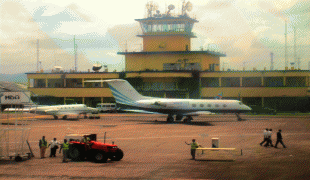
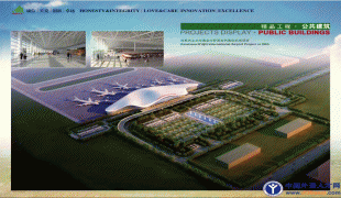
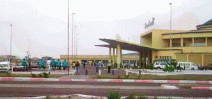
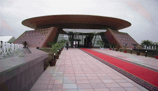
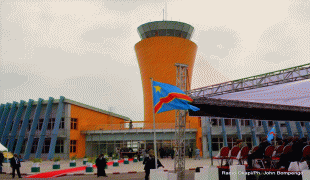
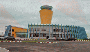
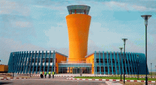
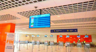
In June 2015, a new international terminal was opened which can service one million passengers per year. Some computerized upgrades to the arrivals terminal have been implemented in recent years, although corruption remains a problem.
The airport was inaugurated in 1953.
In 1998, N'Djili airport was the site of one of the decisive battles of the Second Congo War. Rebel forces advancing on Kinshasa infiltrated the airport perimeter but were repelled by Zimbabwean troops and aircraft arriving to support the government of Laurent Kabila.
In June 2015, a new international terminal was opened which can service one million passengers per year. Some computerized upgrades to the arrivals terminal have been implemented in recent years, although corruption remains a problem.
| IATA Code | FIH | ICAO Code | FZAA | FAA Code | |
|---|---|---|---|---|---|
| Telephone | Fax | ||||
| Home page |
Map - N'djili Airport (N'djili Airport)
Map


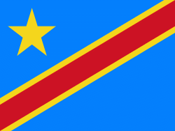
Country - Democratic_Republic_of_the_Congo
 |
 |
| Flag of the Democratic Republic of the Congo | |
Centered on the Congo Basin, the territory of the DRC was first inhabited by Central African foragers around 90,000 years ago and was reached by the Bantu expansion about 3,000 years ago. In the west, the Kingdom of Kongo ruled around the mouth of the Congo River from the 14th to 19th centuries. In the northeast, center and east, the kingdoms of Azande, Luba, and Lunda ruled from the 16th and 17th centuries to the 19th century. King Leopold II of Belgium formally acquired rights to the Congo territory in 1885 and declared the land his private property, naming it the Congo Free State. From 1885 to 1908, his colonial military forced the local population to produce rubber and committed widespread atrocities. In 1908, Leopold ceded the territory, which thus became a Belgian colony.
Currency / Language
| ISO | Currency | Symbol | Significant figures |
|---|---|---|---|
| CDF | Congolese franc | Fr | 2 |
| ISO | Language |
|---|---|
| FR | French language |
| KG | Kongo language |
| LN | Lingala language |