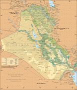
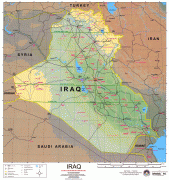
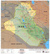
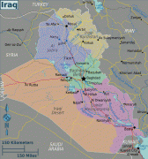
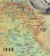
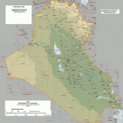
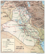
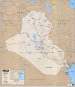
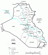
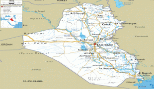
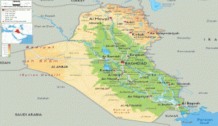
Mesopotamia (Republic of Iraq)
 |
|
| Flag of Iraq | |
The Sumerians and Akkadians (including Assyrians and Babylonians) originating from different areas in present-day Iraq, dominated Mesopotamia from the beginning of written history (c. 3100 BC) to the fall of Babylon in 539 BC, when it was conquered by the Achaemenid Empire. It fell to Alexander the Great in 332 BC, and after his death, it became part of the Greek Seleucid Empire. Later the Arameans dominated major parts of Mesopotamia (c. 900 BC – 270 AD).
Mesopotamia is the site of the earliest developments of the Neolithic Revolution from around 10,000 BC. It has been identified as having "inspired some of the most important developments in human history, including the invention of the wheel, the planting of the first cereal crops, and the development of cursive script, mathematics, astronomy, and agriculture". It is recognised as the cradle of some of the world's earliest civilizations.
Around 150 BC, Mesopotamia was under the control of the Parthian Empire. It became a battleground between the Romans and Parthians, with western parts of the region coming under ephemeral Roman control. In 226 AD, the eastern regions of Mesopotamia fell to the Sassanid Persians. The division of the region between Roman (Byzantine from 395 AD) and Sassanid Empires lasted until the 7th century Muslim conquest of Persia of the Sasanian Empire and Muslim conquest of the Levant from Byzantines. A number of primarily neo-Assyrian and Christian native Mesopotamian states existed between the 1st century BC and 3rd century AD, including Adiabene, Osroene, and Hatra.
The regional toponym Mesopotamia (, Μεσοποταμία '[land] between rivers'; بِلَاد ٱلرَّافِدَيْن Bilād ar-Rāfidayn or بَيْن ٱلنَّهْرَيْن Bayn an-Nahrayn; miyân rudân; Beth Nahrain "(land) between the (two) rivers") comes from the ancient Greek root words μέσος (mesos, 'middle') and ποταμός (potamos, 'river') and translates to '(land) between rivers', likely being a calque of the older Aramaic term, with the Aramaic term itself likely being a calque of the Akkadian birit narim. It is used throughout the Greek Septuagint (c. 250 BC) to translate the Hebrew and Aramaic equivalent Naharaim. An even earlier Greek usage of the name Mesopotamia is evident from The Anabasis of Alexander, which was written in the late 2nd century AD but specifically refers to sources from the time of Alexander the Great. In the Anabasis, Mesopotamia was used to designate the land east of the Euphrates in north Syria. The term Ārām Nahrīn (ארם נהריים, Aram Naharayim) was used multiple times in the Old Testament of the Bible to describe "Aram between the (two) rivers".
The Akkadian term biritum/birit narim corresponded to a similar geographical concept. Later, the term Mesopotamia was more generally applied to all the lands between the Euphrates and the Tigris, thereby incorporating not only parts of Syria but also almost all of Iraq and southeastern Turkey. The neighbouring steppes to the west of the Euphrates and the western part of the Zagros Mountains are also often included under the wider term Mesopotamia.
A further distinction is usually made between Northern or Upper Mesopotamia and Southern or Lower Mesopotamia. Upper Mesopotamia, also known as the Jazira, is the area between the Euphrates and the Tigris from their sources down to Baghdad. Lower Mesopotamia is the area from Baghdad to the Persian Gulf and includes Kuwait and parts of western Iran.
In modern academic usage, the term Mesopotamia often also has a chronological connotation. It is usually used to designate the area until the Muslim conquests, with names like Syria, Jazira, and Iraq being used to describe the region after that date. It has been argued that these later euphemisms are Eurocentric terms attributed to the region in the midst of various 19th-century Western encroachments.
Currency / Language
| ISO | Currency | Symbol | Significant figures |
|---|---|---|---|
| IQD | Iraqi dinar | عد | 3 |
| ISO | Language |
|---|---|
| AR | Arabic language |
| HY | Armenian language |
| KU | Kurdish language |


