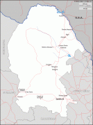
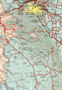
Coahuila (Estado de Coahuila de Zaragoza)
 |
 |
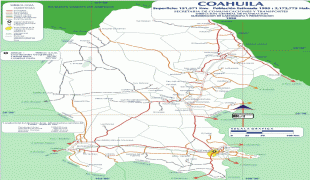
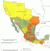
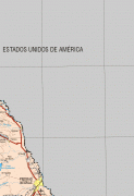
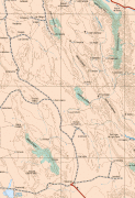
Coahuila borders the Mexican states of Nuevo León to the east, Zacatecas to the south, and Durango and Chihuahua to the west. To the north, Coahuila accounts for a 512 km stretch of the Mexico–United States border, adjacent to the U.S. state of Texas along the course of the Rio Grande (Río Bravo del Norte). With an area of 151563 km2, it is the nation's third-largest state. It comprises 38 municipalities (municipios). In 2020, Coahuila's population is 3,146,771 inhabitants.
The largest city and State Capital is the city of Saltillo; the second largest is Torreón (largest metropolitan area in Coahuila and 9th largest in Mexico); the third largest is Monclova (a former state capital); the fourth largest is Ciudad Acuña; and the fifth largest is Piedras Negras.
The name Coahuila derives from native terms for the region, and has been known by variations such as Cuagüila and Cuauila. Some historians believe that this means “flying serpent”, “place of many trees”, or “place where serpents creep”. The official name of the state is Coahuila de Zaragoza, in honor of General Ignacio Zaragoza.
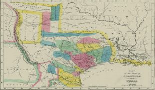
The Spanish explored the north of Mexico some decades after their victory in Tenochtitlan, the capital of the Aztecs. Such exploration was delayed because the northern climate was harsher and there was no gold. The first Spanish settlement in the region now called Coahuila was at Minas de la Trinidad in 1577. Saltillo was settled in 1586, to form part of the province of Nueva Vizcaya of the Vice-royalty of New Spain. Later it became one of the first provinces of Nueva Extremadura to be explored by Europeans. Among the 16th century settlers of Saltillo and other communities in Nueva Vizcaya were Tlaxcalans, who founded an independent community bordering Saltillo, called San Esteban de Nueva Tlaxcala. Coahuila y Tejas was one of the constituent states of the newly independent United Mexican States under their 1824 Constitution, and included Texas, Coahuila and Nuevo León. Later in the same year Nuevo León was detached, but Texas remained a part of the state until 1836, when it seceded to form the Republic of Texas. Monclova was the capital of the state from 1833 to 1835.
In 1840 Coahuila briefly became a member of the short lived Republic of the Rio Grande. In the mid-19th century, the Sánchez Navarro family owned a ranch of 16500000 acre mostly in Coahuila. It was the largest privately-owned property in the Americas.
On February 19, 1856, Santiago Vidaurri annexed Coahuila to his state, Nuevo León, but it regained its separate status in 1868.
During the Mexican Revolution, Francisco Villa attacked the city of Torreón.
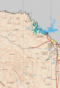
On April 4, 2004, the border city of Piedras Negras was flooded. More than 30 people died and more than 4,000 lost their homes. In 2007 Coahuila became the first state in Mexico to offer civil unions (Pacto Civil de Solidaridad) to same-sex couples.
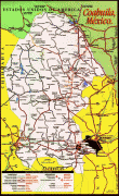
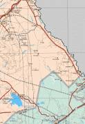
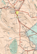
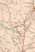
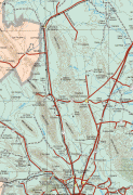
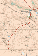
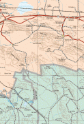
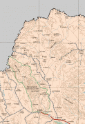
Map - Coahuila (Estado de Coahuila de Zaragoza)
Map


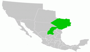

Country - Mexico


Currency / Language
| ISO | Currency | Symbol | Significant figures |
|---|---|---|---|
| MXV | Mexican Unidad de Inversion | 2 | |
| MXN | Mexican peso | $ | 2 |
| ISO | Language |
|---|---|
| ES | Spanish language |