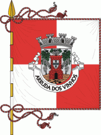
Arruda dos Vinhos (Arruda Dos Vinhos)
 |
 |
The present Mayor is André Filipe dos Santos Rijo, elected from the Socialist Party.
Administratively, the municipality is divided into 4 civil parishes (freguesias):
* Arranhó
* Arruda dos Vinhos
* Cardosas
* Santiago dos Velhos
Map - Arruda dos Vinhos (Arruda Dos Vinhos)
Map


Country - Portugal
 |
 |
| Flag of Portugal | |
One of the oldest countries in Europe, its territory has been continuously settled, invaded and fought over since prehistoric times. The territory was first inhabited by pre-Roman and Celtic peoples who had contact with Phoenicians, ancient Greeks and Carthaginians. It was later ruled by the Romans, followed by the invasions of Germanic peoples and the Islamic invasion by the Moors, whose rule was eventually expelled during the Reconquista. Founded first as a county of the Kingdom of León in 868, gained its independence as the Kingdom of Portugal with the Treaty of Zamora in 1143.
Currency / Language
| ISO | Currency | Symbol | Significant figures |
|---|---|---|---|
| EUR | Euro | € | 2 |
| ISO | Language |
|---|---|
| PT | Portuguese language |