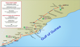
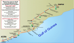
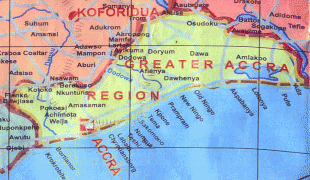
Accra
 |
Formed from the merger of distinct settlements around British Fort James, Dutch Fort Crêvecoeur (Ussher Fort), and Danish Fort Christiansborg as Jamestown, Usshertown, and Christiansborg respectively, Accra served as the capital of the British Gold Coast between 1877 and 1957 and has since transitioned into a modern metropolis. The capital's architecture reflects this history, ranging from 19th-century colonial architecture to modern skyscrapers and apartment blocks.
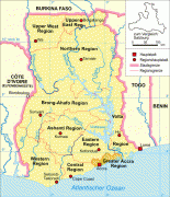
Accra is the Greater Accra Region's economic and administrative hub, and serves as the anchor of the larger Greater Accra Metropolitan Area (GAMA), which is inhabited by about 4 million people, making it the thirteenth-largest metropolitan area in Africa. In 2020, the Globalization and World Cities Research Network think tank designated Accra as a "Gamma −" level global city, indicating a growing level of international influence and connectedness.
The word Accra is derived from the Akan word Nkran meaning "ants", a reference to the numerous anthills seen in the countryside around Accra. The name specifically refers to soldier ants, and was applied to both the town and people by the Twi speakers.
The name of Accra in the local Ga language is Ga or Gaga, the same name as that of the Ga people and a cognate with Nkran. The word is sometimes rendered with the nasalised vowels as Gã or Gãgã. Historian Carl Christian Reindorf confirmed this etymology, proposing a link between the martial qualities and migratory behavior of the local ants and those of the Ga people. The link between the ethnonym and ants was explicitly reflected in the recognition of anthills as sacred places. Often ringed by sacred fences (aklabatsa), the tall red mounds dotting Accra's hinterland were seen as microcosms of human community and as nodal points between the known world and the world of the dead.
While the Ga used the reference to the invasive species of dark-red swarming ants to connote military prowess and their ancient conquest of Guang speakers residing in the Accra Plains, the Akan-speaking appropriation and translation of this metaphor had a less than generous meaning. Instead of viewing Ga speakers as a formidable military force, the Akan-speaking term "Nkran" cast Ga peoples as pests or nuisances to be controlled or exterminated.
The name Ga is actually a cognate of the name Akan, one of a few words in which corresponds to in Akan. Ga also gave its name to the Ga districts surrounding Accra.
The spelling Accra was given to Nkran by Europeans. An earlier spelling used by the Danes was Akra.
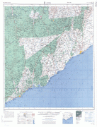
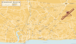
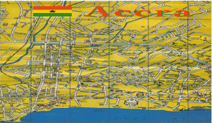
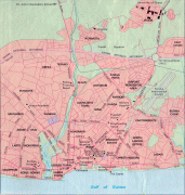
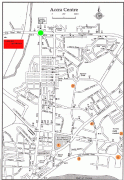
Map - Accra
Map


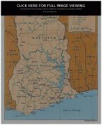


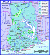
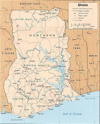

Country - Ghana
 |
 |
| Flag of Ghana | |
The Bono state existed in the area that is modern day Ghana during the 11th century. Kingdoms and empires such as Kingdom of Dagbon in the north and the Ashanti Empire in the south emerged over the centuries. Beginning in the 15th century, the Portuguese Empire, followed by other European powers, contested the area for trading rights, until the British ultimately established control of the coast by the 19th century. Following over a century of colonial resistance, the current borders of the country took shape, encompassing 4 separate British colonial territories: Gold Coast, Ashanti, the Northern Territories, and British Togoland. These were unified as an independent dominion within the Commonwealth of Nations. On 6th March 1957, Ghana became the first country in Sub-Saharan Africa to achieve sovereignty. Ghana subsequently became influential in decolonisation efforts and the Pan-African movement.
Currency / Language
| ISO | Currency | Symbol | Significant figures |
|---|---|---|---|
| GHS | Ghanaian cedi | ₵ | 2 |
| ISO | Language |
|---|---|
| AK | Akan language |
| EN | English language |
| EE | Ewe language |
| TW | Twi |