Mamathe
지도 - Mamathe
지도


나라 - 레소토
 |
 |
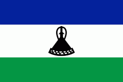
| 레소토의 국기 | |
1818년 모슈슈 1세(Moshoeshoe)가 여러 부족들을 통합하고 왕국을 세웠다. 보어인의 침략으로 나라가 위험에 빠지자 영국에 보호를 요청해 1868년 영국의 보호령 바수톨란드가 되었다. 남아프리카 공화국이 통일하자는 요구를 거부하고 1966년에 영국 연방 내의 자치 국가로 독립했다.
통화 / 언어
| ISO | 통화 | 상징 | 유효숫자 |
|---|---|---|---|
| ZAR | 남아프리카 공화국 랜드 (South African rand) | Rs | 2 |
| LSL | 레소토 로티 (Lesotho loti) | L | 2 |