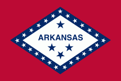
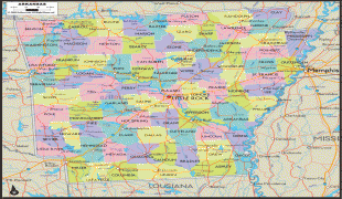
アーカンソー州 (Arkansas)
 |
 |
地形的にはアメリカ内陸高原を構成するオザーク高原やワシタ山地のある山岳地から、東部のミシシッピ川やアーカンソー・デルタのある低地まで多様である.
「アーカンソー」という名前はカンザス州と語源を同じくする. カンザ族インディアンはグレートプレーンズのスー族と密接な関係がある. カンザ族と近縁のクアポー族の言葉で「下流の人々の土地」を意味する「アカカズ」(akakaze)、あるいはスー族の言葉で「南風の人々」を意味する「アカカズ」(akakaze)をフランス語風に発音したのがアーカンソー("Arcansas")である. なお、この語末の「a+子音字」は標準フランス語では[a]と発音するため、これを[ɔː]と発音するのはケベック・フランス語など北アメリカのフランス語の特徴といえる. アーカンソーの発音については、州選出の2人のアメリカ合衆国上院議員の間で、片方が「アーカンザス」( )を主張したのに対し、もう一方が「アーカンソー」( )を主張するという論争があった(太字に第一強勢アクセント)The name Arkansas has been pronounced and spelled in a variety of fashions. The region was organized as the Territory of Arkansaw on July 4, 1819, but the territory was admitted to the United States as the state of Arkansas on June 15, 1836. The name was historicallyand several other variants. In 1881, the Arkansas General Assembly passed the following concurrent resolution, now Arkansas Code 1-4-105 (official text): "Whereas, confusion of practice has arisen in the pronunciation of the name of our state and it is deemed important that the true pronunciation should be determined for use in oral official proceedings." "And, whereas, the matter has been thoroughly investigated by the State Historical Society and the Eclectic Society of Little Rock, which have agreed upon the correct pronunciation as derived from history, and the early usage of the American immigrants." "Be it therefore resolved by both houses of the General Assembly, that the only true pronunciation of the name of the state, in the opinion of this body, is that received by the French from the native Indians and committed to writing in the French word representing the sound. It should be pronounced in three (3) syllables, with the final 's' silent, the 'a' in each syllable with the Italian sound, and the accent on the first and last syllables. The pronunciation with the accent on the second syllable with the sound of 'a' in 'man' and the sounding of the terminal 's' is an innovation to be discouraged." Citizens of the state of Kansas often pronounce the Arkansas River as, in a manner similar to the common pronunciation of the name of their state. . そして1881年の州議会立法で公式に「アーカンソー」と決められた.
開拓初期にクマが多く棲息していたため「クマの州 Bear State」という愛称がある.
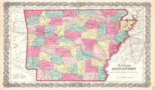
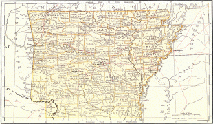
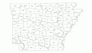
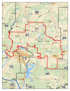
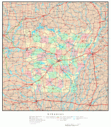
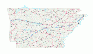
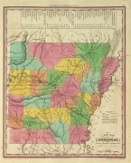
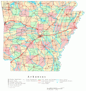
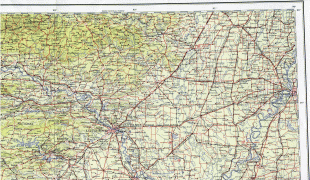
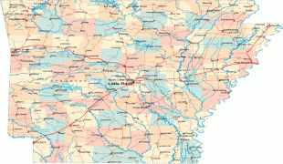
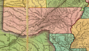
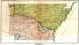
地図 - アーカンソー州 (Arkansas)
地図


国 - アメリカ合衆国
 |
 |
| アメリカ合衆国の国旗 | |
アメリカ合衆国(United States of America)の頭文字を取って「U.S.A.」もしくは「USA」、合衆国(United States)の頭文字を取って「U.S.」もしくは「US」、または単にアメリカ(America)とも称される.
通貨 / 言語
| ISO | 通貨 | シンボル | 有効数字 |
|---|---|---|---|
| USD | アメリカ合衆国ドル (United States dollar) | $ | 2 |


