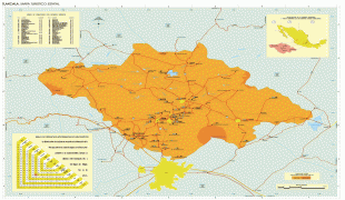
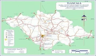
Tlaxcala (Estado de Tlaxcala)
 |
 |
It is located in east-central Mexico, in the altiplano region, with the eastern portion dominated by the Sierra Madre Oriental. It is bordered by the states of Puebla to the north, east and south, México to the west and Hidalgo to the northwest. It is the smallest state of the republic, accounting for only 0.2% of the country's territory.
The state is named after its capital, Tlaxcala, which was also the name of the Pre-Columbian city and culture. The Tlaxcalans allied themselves with the Spanish to defeat the Aztecs, with concessions from the Spanish that allowed the territory to remain mostly intact throughout 300 years of colonial period. After Mexican Independence, Tlaxcala was declared a federal territory, until 1857 when it was admitted as a state of the federation.
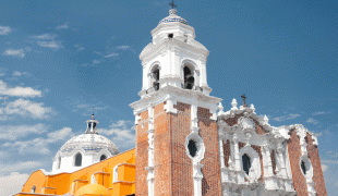
Most of the state's economy is based on agriculture, light industry and tourism. The tourist industry is rooted in Tlaxcala's long history with major attractions being archeological sites such as Cacaxtla and colonial constructions in and around Tlaxcala city.
The name Tlaxcala pre-dates the state by centuries; it derives from the name of the capital city, which was also used to denote the territory controlled by this city in pre-Hispanic times. According to some historians, the name comes from an ancient word texcalli, which meant 'crag'; however, an alternative etymology stems from the Nahuatl word Tlaxcallān which means 'place of corn tortillas'. The Aztec glyph that referred to this place has both elements, two green hills and two hands holding a corn tortilla.
The letter 'x' in the name reflects the voiceless palato-alveolar fricative /ʃ/, a historical phoneme present in Nahuatl and in Old Spanish. The conquistadors transcribed this sound using that letter in the Spanish language at the time of colonization and also when codifying the alphabets of the indigenous languages in the Americas for the first time. Due to the evolution of the coronal fricatives that took place in Spanish during the 16th and 17th centuries, /ʃ/ transitioned into a voiceless velar fricative /x/ (similar to a strong 'H') at the beginning of a word or intervocalically, while it turned into a voiceless alveolar fricative /s/ at the end of a syllable. Thus, the pronunciation of Tlaxcala at the time of the sibilant shift transitioned from to. However, the realization is also present due to spelling pronunciation after the Spanish orthographic reform of 1815, which replaced the letter 'x' with 'j' in words that previously had /ʃ/ that transitioned into velar /x/, leaving the letter 'x' with the current pronunciation /ks/.
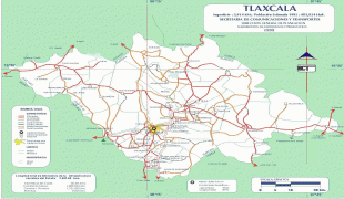
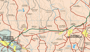
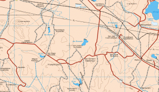
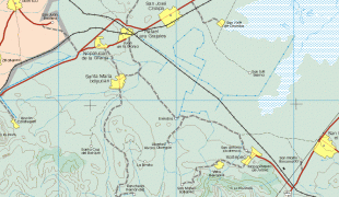
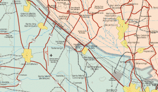
Map - Tlaxcala (Estado de Tlaxcala)
Map


Country - Mexico


Currency / Language
| ISO | Currency | Symbol | Significant figures |
|---|---|---|---|
| MXV | Mexican Unidad de Inversion | 2 | |
| MXN | Mexican peso | $ | 2 |
| ISO | Language |
|---|---|
| ES | Spanish language |