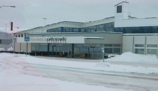
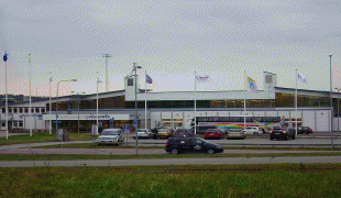
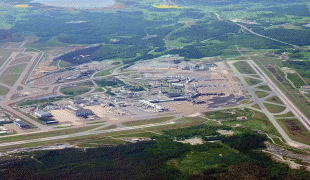
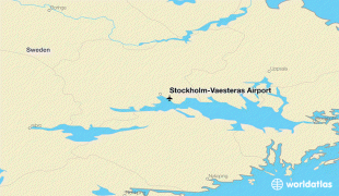
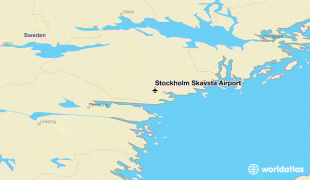
Stockholm Västerås Airport (Stockholm-Västerås Airport)
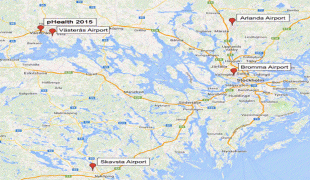
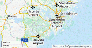
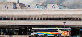
Stockholm Västerås Airport , also known as Hässlö Flygplats, is a minor international airport located near the city of Västerås, Sweden, 70 mi west of Stockholm Municipality and Stockholm County.
In 1931, the area started to be used as a military airbase. In 1976, the airport, bought by the city, started to be used for civilian flights; the first route was by Scandinavian Airlines to Copenhagen.
In 2001, Ryanair started flights, the first route led to London Stansted. In 2006, Ryanair left the airport, but returned again in 2007. The same year, Scandinavian Airlines ended their flights from Västerås.
The airport played an important role during the 2014 Västmanland wildfire, serving as a base for water bombers and rescue helicopters.
On 13 May 2020, the Västerås city council decided to close down the airport, stating that the airport company should end all activities no later than 31 December 2022. This was due to annual losses and the need for annual financing from the city, worsened by the coronavirus outbreak. A local referendum was held on the matter on 21 March 2021, with the result that scheduled air traffic shall not end.
| IATA Code | VST | ICAO Code | ESOW | FAA Code | |
|---|---|---|---|---|---|
| Telephone | Fax | ||||
| Home page | Hyperlink |
Map - Stockholm Västerås Airport (Stockholm-Västerås Airport)
Map


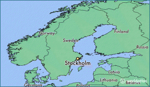


Country - Sweden
 |
 |
| Flag of Sweden | |
Nature in Sweden is dominated by forests and many lakes, including some of the largest in Europe. Many long rivers run from the Scandes range through the landscape, primarily emptying into the northern tributaries of the Baltic Sea. It has an extensive coastline and most of the population lives near a major body of water. With the country ranging from 55°N to 69°N, the climate of Sweden is diverse due to the length of the country. The usual conditions are mild for the latitudes with a maritime south, continental centre and subarctic north. Snow cover is infrequent in the densely populated south, but reliable in higher latitudes. Furthermore, the rain shadow of the Scandes results in quite dry winters and sunny summers in much of the country.
Currency / Language
| ISO | Currency | Symbol | Significant figures |
|---|---|---|---|
| SEK | Swedish krona | kr | 2 |
| ISO | Language |
|---|---|
| FI | Finnish language |
| SE | Northern Sami |
| SV | Swedish language |