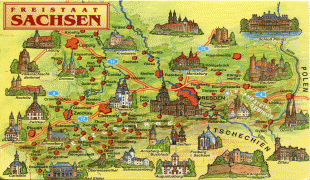
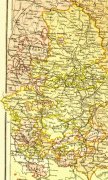
Saxony
 |
 |
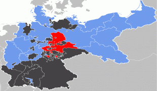
The term Saxony has been in use for more than a millennium. It was used for the medieval Duchy of Saxony, the Electorate of Saxony of the Holy Roman Empire, the Kingdom of Saxony, and twice for a republic. The first Free State of Saxony was established in 1918 as a constituent state of the Weimar Republic. After World War II, it was under Soviet occupation before it became part of the communist East Germany and was abolished by the government in 1952. Following German reunification, the Free State of Saxony was reconstituted with enlarged borders in 1990 and became one of the five new states of the Federal Republic of Germany.
The area of the modern state of Saxony should not be confused with Old Saxony, the area inhabited by Saxons. Old Saxony corresponds roughly to the modern German states of Lower Saxony, Saxony-Anhalt, and the Westphalian part of North Rhine-Westphalia.
Saxony has a long history as a duchy, an electorate of the Holy Roman Empire (the Electorate of Saxony), and finally as a kingdom (the Kingdom of Saxony). In 1918, after Germany's defeat in World War I, its monarchy was overthrown and a republican form of government was established under the current name. The state was broken up into smaller units during communist rule (1949–1989), but was re-established on 3 October 1990 on the reunification of East and West Germany.
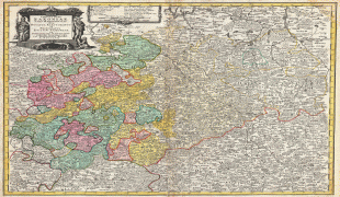
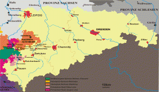
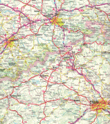
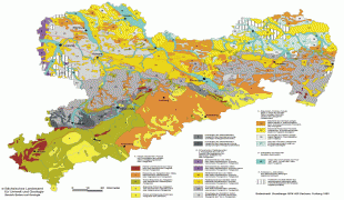
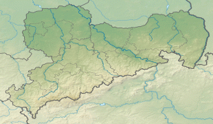
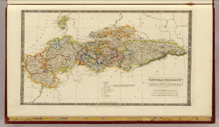
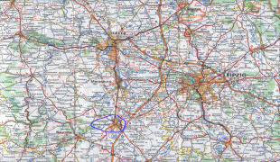
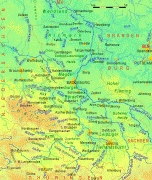
Map - Saxony
Map


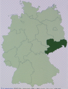


Country - Germany
 |
 |
| Flag of Germany | |
Various Germanic tribes have inhabited the northern parts of modern Germany since classical antiquity. A region named Germania was documented before AD 100. In 962, the Kingdom of Germany formed the bulk of the Holy Roman Empire. During the 16th century, northern German regions became the centre of the Protestant Reformation. Following the Napoleonic Wars and the dissolution of the Holy Roman Empire in 1806, the German Confederation was formed in 1815.
Currency / Language
| ISO | Currency | Symbol | Significant figures |
|---|---|---|---|
| EUR | Euro | € | 2 |
| ISO | Language |
|---|---|
| DE | German language |


