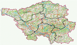
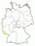
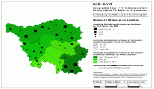
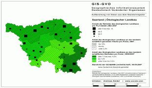
Map - Saarland

Saarland
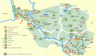
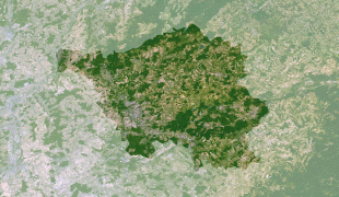
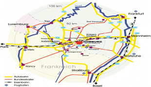
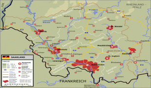
The Saarland (, ; Sarre ) is a state of Germany in the south west of the country. With an area of 2570 km2 and population of 990,509 in 2018, it is the smallest German state in area apart from the city-states of Berlin, Bremen, and Hamburg, and the smallest in population apart from Bremen. Saarbrücken is the state capital and largest city; other cities include Neunkirchen and Saarlouis. Saarland is mainly surrounded by the department of Moselle (Grand Est) in France to the west and south and the neighboring state of Rhineland-Palatinate in Germany to the north and east; it also shares a small border about 5 mi long with the canton of Remich in Luxembourg to the northwest.

Saarland was established in 1920 after World War I as the Territory of the Saar Basin, occupied and governed by France under a League of Nations mandate. The heavily industrialized region was economically valuable, due to the wealth of its coal deposits and location on the border between France and Germany. Saarland was returned to Nazi Germany in the 1935 Saar status referendum. Following World War II, the French military administration in Allied-occupied Germany organized the territory as the Saar Protectorate on 16 February 1946. After the 1955 Saar Statute referendum, it joined the Federal Republic of Germany as a state on 1 January 1957. Saarland used its own currency, the Saar franc, and postage stamps issued specially for the territory until 1959.

 
Map - Saarland
Map
Google Earth - Map - Saarland
Google Earth
Openstreetmap - Map - Saarland
Openstreetmap
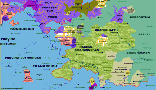
map_saarland_1789.pn...
3115x2132
www.dupont-banat.org
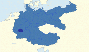
Map_of_Saarland_1945...
1925x1561
images.wikia.com
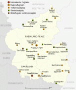
Rheinland-Pfalz_und_...
1273x1500
upload.wikimedia.org
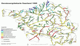
gwgkarte1.jpg
1507x1165
www.umweltserver.saa...
saarland.jpg
1556x1092
www.johanneshof24.de
planet-observer_PORS...
1450x967
www.geodus.com
1280414322_h0xlo32ml...
1280x1024
www.abload.de
CampusMap2005.gif
868x1376
www.dfki.de
Saarland-map.jpg
1239x959
www.zonu.com
14358725-map-of-saar...
1200x960
us.123rf.com
14192731-map-of-saar...
1200x960
us.123rf.com
9255361-map-of-saarl...
1200x960
us.123rf.com
14238961-map-of-saar...
1200x960
us.123rf.com
8483435-map-of-saarl...
1200x960
us.123rf.com
11566193-political-m...
906x1203
us.123rf.com
saarland_oekologisch...
1186x838
www.xzcute.com
Karte_der_Provinz_Sa...
1186x838
4.bp.blogspot.com
weg-hom2.jpg
1000x936
www.uniklinikum-saar...
Saarland_karte_neu.p...
1089x835
upload.wikimedia.org
saarland%20map%20det...
904x695
freepages.genealogy....
Country - Germany
Flag of Germany
Germany, officially the Federal Republic of Germany, is a country in Central Europe. It is the second-most populous country in Europe after Russia, and the most populous member state of the European Union. Germany is situated between the Baltic and North seas to the north, and the Alps to the south; it covers an area of 357022 km2, with a population of almost 84 million within its 16 constituent states. Germany borders Denmark to the north, Poland and the Czech Republic to the east, Austria and Switzerland to the south, and France, Luxembourg, Belgium, and the Netherlands to the west. The nation's capital and most populous city is Berlin and its financial centre is Frankfurt; the largest urban area is the Ruhr.

Various Germanic tribes have inhabited the northern parts of modern Germany since classical antiquity. A region named Germania was documented before AD 100. In 962, the Kingdom of Germany formed the bulk of the Holy Roman Empire. During the 16th century, northern German regions became the centre of the Protestant Reformation. Following the Napoleonic Wars and the dissolution of the Holy Roman Empire in 1806, the German Confederation was formed in 1815.
Currency / Language  
ISO Currency Symbol Significant figures
EUR Euro € 2
ISO Language
DE German language
Neighbourhood - Country  
  •  Austria 
  •  Belgium 
  •  Czech Republic 
  •  Denmark 
  •  France 
  •  Luxembourg 
  •  Netherlands 
  •  Poland 
  •  Switzerland 
Administrative Subdivision
Country, State, Region,...