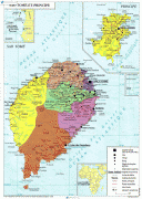
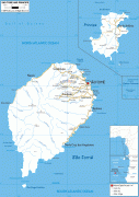
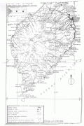
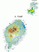
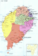
São Tomé and Príncipe (Sao Tome and Principe)
 |
 |
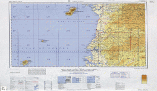
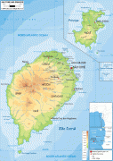
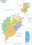
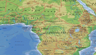
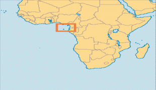
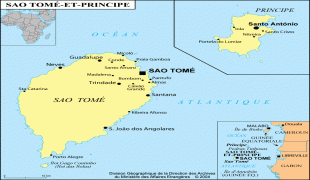
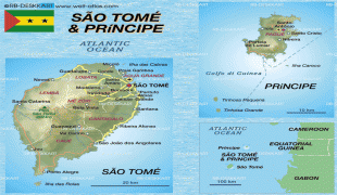
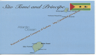
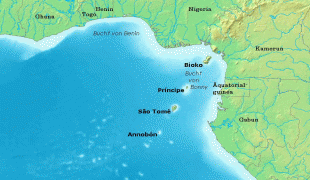
It consists of two archipelagos around the two main islands of São Tomé and Príncipe, about 150 km apart and about 250 and 225 km off the northwestern coast of Gabon. With a population of 201,800 (2018 official estimate), São Tomé and Príncipe is the second-smallest and second-least populous African sovereign state after Seychelles.
The islands were uninhabited until their discovery in 1470 by Portuguese explorers João de Santarém and Pedro Escobar. Gradually colonized and settled throughout the 16th century, they collectively served as a vital commercial and trade centre for the Atlantic slave trade. The rich volcanic soil and proximity to the equator made São Tomé and Príncipe ideal for sugar cultivation, followed later by cash crops such as coffee and cocoa; the lucrative plantation economy was heavily dependent upon African slaves. Cycles of social unrest and economic instability throughout the 19th and 20th centuries culminated in peaceful independence in 1975. São Tomé and Príncipe has since remained one of Africa's most stable and democratic countries.
The people of São Tomé and Príncipe are predominantly of African and mestiço descent, with most practicing Catholicism. The legacy of Portuguese rule is also visible in the country's culture, customs, and music, which fuse European and African influences. São Tomé and Príncipe is a founding member state of the Community of Portuguese Language Countries.