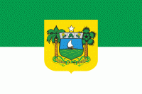
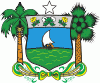
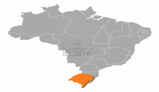
Rio Grande do Norte (Rio Grande do Norte)
 |
 |
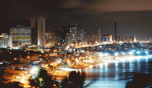
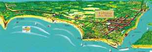
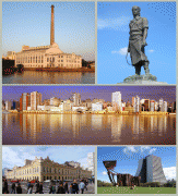
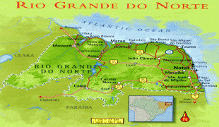
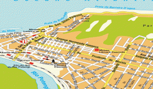
The capital and largest city is Natal. The state has 410 km (254 mi) of sandy beaches and contains Rocas Atoll, the only atoll in the Atlantic Ocean. The main economic activity is tourism, followed by the extraction of petroleum (the second largest producer in the country), agriculture, fruit growing and extraction of minerals, including considerable production of seasalt, among other economic activities. The state is home to 1.7% of the Brazilian population and produces 1% of the country's GDP. In 2000-17 the murder rate rose by 655%, making Rio Grande do Norte the state with the highest murder rate in Brazil: 63.9 per 100,000.
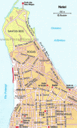
Tourist attractions in the state include the Cashew of Pirangi (the world's largest cashew tree), the dunes and the dromedaries of Genipabu, the beaches of Ponta Negra, Maracajaú and Pipa, the Carnatal, Natal's carnival, the sixteenth-century Forte dos Reis Magos fortification, the hills and mountains of Martins, the Natal Dunes State Park, and others. The folklorist Luís da Câmara Cascudo was born and worked in the state. The state is the closest part of mainland Brazil to the archipelago of Fernando de Noronha.
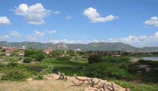
Rio Grande do Norte is dominated by its coastline. The state is famed for its beaches and sand dunes, and the air is, according to NASA, the second-cleanest in the world after Antarctica.
Two climates predominate: humid tropical, in the oriental littoral, and semi-arid, in the remaining (most part) of the State (including the North coast). The rainforest which once covered most of Brazil's coast had its northern end in the south of Rio Grande do Norte; the area north of Natal, the capital, is under dunes, a kind of formation associated with semi-arid climate. The semi-arid climate is characterized not only by the low level but also the irregularity of rainfall; some years can go by with no or very little rain; most of the interior of the State is part of the Polygon of Droughts (an area which receives special attention from the federal government). There are also many mangroves in the state, and the interior is dominated by rainforest. Rocas Atoll in the Atlantic Ocean, 260 km Northeast of Natal, also belongs to the state of Rio Grande do Norte. It is contained in the fully protected Atol das Rocas Biological Reserve.
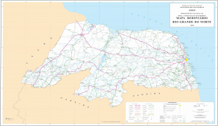
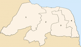
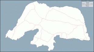
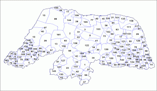
Map - Rio Grande do Norte (Rio Grande do Norte)
Map


Country - Brazil


Currency / Language
| ISO | Currency | Symbol | Significant figures |
|---|---|---|---|
| BRL | Brazilian real | R$ | 2 |
| ISO | Language |
|---|---|
| EN | English language |
| FR | French language |
| PT | Portuguese language |
| ES | Spanish language |


