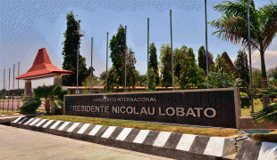
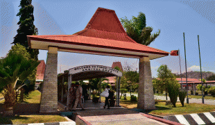
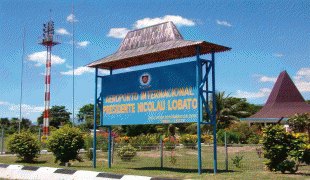
Presidente Nicolau Lobato International Airport (Nicolau Lobato Airport)
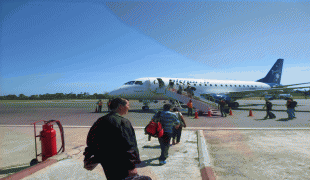
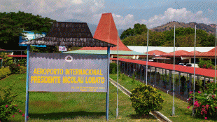
Dili Airport, officially Presidente Nicolau Lobato International Airport (Aeroporto Internacional Presidente Nicolau Lobato, Aeroportu Internasional Presidente Nicolau Lobato), and formerly Comoro Airport (Bandar Udara Komoro), is an international airport serving Dili, the capital city of East Timor. Since 2002, the airport has been named after Nicolau dos Reis Lobato (1946–1978), an East Timorese politician and national hero.
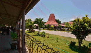
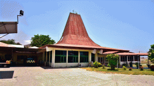
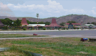
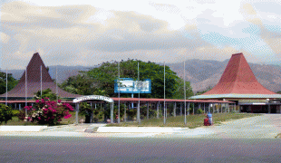
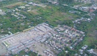
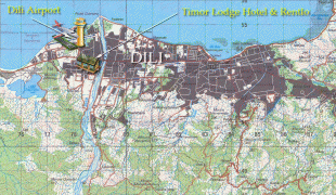
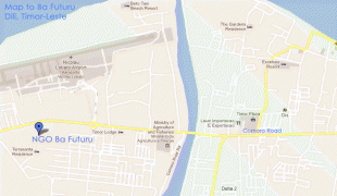
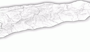
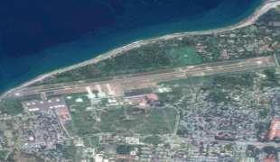
The airport is located in the suco of Madohi, which is part of the Dom Aleixo administrative post, in the western suburbs of Dili. It faces the Ombai Strait to its north and west, and the Comoro River to its east. Its runway (08/26) runs broadly east-west.
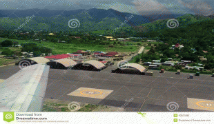
North of the airport, between the runway and Ombai Strait, is a residential zone that includes houses, a small area of agricultural land, a school, a church, and a cemetery. At the zone's northern edge is Beto Tasi Beach, a hidden stretch of shoreline known to the local community and also used for fishing.
The airport is located in the suco of Madohi, which is part of the Dom Aleixo administrative post, in the western suburbs of Dili. It faces the Ombai Strait to its north and west, and the Comoro River to its east. Its runway (08/26) runs broadly east-west.
North of the airport, between the runway and Ombai Strait, is a residential zone that includes houses, a small area of agricultural land, a school, a church, and a cemetery. At the zone's northern edge is Beto Tasi Beach, a hidden stretch of shoreline known to the local community and also used for fishing.
| IATA Code | DIL | ICAO Code | WPDL | FAA Code | |
|---|---|---|---|---|---|
| Telephone | Fax | ||||
| Home page |
Map - Presidente Nicolau Lobato International Airport (Nicolau Lobato Airport)
Map


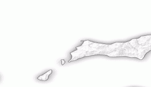
Country - East_Timor
 |
 |
| Flag of East Timor | |
East Timor came under Portuguese influence in the sixteenth century, remaining a Portuguese colony until 1975. Internal conflict preceded a unilateral declaration of independence and an Indonesian invasion and annexation. Resistance continued throughout Indonesian rule, and in 1999 a United Nations–sponsored act of self-determination led to Indonesia relinquishing control of the territory. On 20 May 2002, as Timor-Leste, it became the first new sovereign state of the 21st century. That same year, relations with Indonesia were established and normalized, with Indonesia also supporting East Timor's accession into ASEAN.
Currency / Language
| ISO | Currency | Symbol | Significant figures |
|---|---|---|---|
| USD | United States dollar | $ | 2 |
| ISO | Language |
|---|---|
| EN | English language |
| ID | Indonesian language |
| PT | Portuguese language |