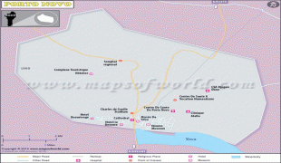
Porto-Novo
Porto-Novo (Portuguese: "New Port",, ; Àjàṣẹ́; ), also known as Hogbonu and Ajashe, is the capital of Benin. The commune covers an area of 110 km2 and as of 2002 had a population of 223,552 people.
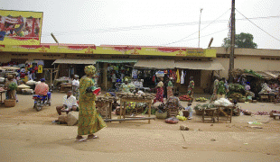
Situated on an inlet of the Gulf of Guinea, in the southeastern portion of the country, the city was originally developed as a port for the transatlantic slave trade led by the Portuguese Empire. It is Benin's second-largest city, and although it is the official capital, where the national legislature sits, the larger city of Cotonou is the seat of government, where most of the government buildings are situated and government departments operate.
The name Porto-Novo is of Portuguese origin, literally meaning "New Port". It remains untranslated in French, the national language of Benin.
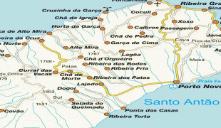
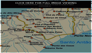
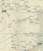
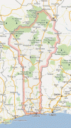
Map - Porto-Novo
Map


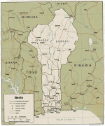
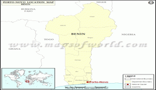
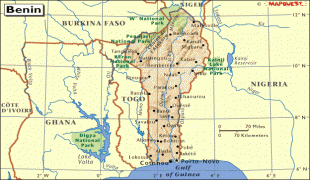

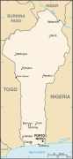

Country - Benin
 |
 |
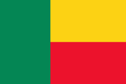
| Flag of Benin | |
From the 17th to the 19th century, political entities in the area included the Kingdom of Dahomey, the city-state of Porto-Novo, and other states to the north. This region was referred to as the Slave Coast from the early 17th century due to the high number of people who were sold and trafficked during the Atlantic slave trade to the New World. France took over the territory in 1894, incorporating it into French West Africa as French Dahomey. In 1960, Dahomey gained full independence from France. As a sovereign state, Benin has had democratic governments, military coups, and military governments. A self-described Marxist–Leninist state called the People's Republic of Benin existed between 1975 and 1990. In 1991, it was replaced by the multi-party Republic of Benin.
Currency / Language
| ISO | Currency | Symbol | Significant figures |
|---|---|---|---|
| XOF | West African CFA franc | Fr | 0 |
| ISO | Language |
|---|---|
| FR | French language |