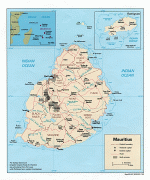
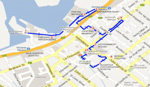
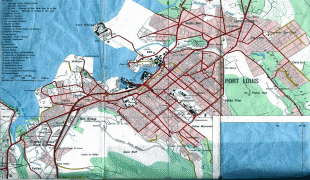
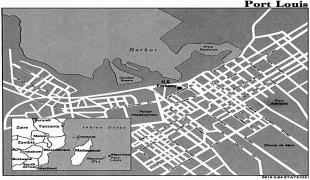
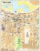
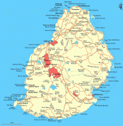
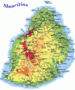
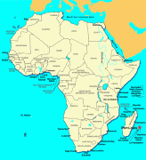
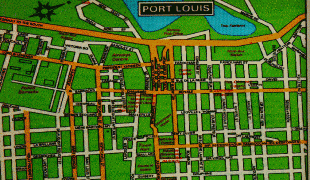
Mauritius (Maurice ; Moris ), officially the Republic of Mauritius, is an island nation in the Indian Ocean about 2000 km off the southeast coast of the African continent, east of Madagascar. It includes the main island (also called Mauritius), as well as Rodrigues, Agaléga and St. Brandon. The islands of Mauritius and Rodrigues, along with nearby Réunion (a French overseas department), are part of the Mascarene Islands. The main island of Mauritius, where most of the population is concentrated, hosts the capital and largest city, Port Louis. The country spans 2040 km2 and has an exclusive economic zone covering 2300000 km2.
Arab sailors were the first to discover the uninhabited island, around 975, and they called it Dina Arobi. In 1507, Portuguese sailors visited the uninhabited island. The island appears with the Portuguese names Cirne or Do-Cerne on early Portuguese maps. The Dutch took possession in 1598, establishing a succession of short-lived settlements over a period of about 120 years, before abandoning their efforts in 1710. France took control in 1715, renaming it Isle de France. In 1810, the United Kingdom seized the island, and four years later, in the Treaty of Paris, France ceded Mauritius and its dependencies to the United Kingdom. The British colony of Mauritius included Rodrigues, Agaléga, St. Brandon, the Chagos Archipelago, and, until 1906, the Seychelles. Mauritius and France dispute sovereignty over the island of Tromelin as the Treaty of Paris failed to mention it specifically. Mauritius remained a primarily plantation-based colony of the United Kingdom until independence in 1968.