Paraná (Paraná)
 |
 |
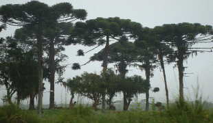
Crossed by the Tropic of Capricorn, Paraná has what is left of the araucaria forest, one of the most important subtropical forests in the world. At the border with Argentina is the National Park of Iguaçu, considered by UNESCO as a World Heritage Site. At only 40 km from there, at the border with Paraguay, the largest dam in the world was built, the Hidroelétrica de Itaipu (Itaipu Hydroelectric Dam). The crime rate is considered low by Brazilian standards and the state is one of the most developed ones in the nation, ranking 4th in gross domestic product, only behind the states of Rio de Janeiro, São Paulo and Minas Gerais.
Before the discovery of the region by European explorers, indigenous populations inhabited the region for thousands of years. This included the Carijó in the lands closer to the sea, from the Tupi group, and the Caingangues in the interior, who belonged to the Jê group.
Colonisation of the state by settlers started in the 16th century, but was mainly confined to the coasts. Being a region mostly abandoned by the Portuguese, the region was explored by other European countries, who searched primarily for Pau brasil. The most noteworthy presence was that of the Spanish, which brought with them jesuits. Soon, Jesuit reductions were opened in the western and south-western parts of the state, whose territory largely belonged to the Spanish crown. In 1554, Domingo Martínez de Irala founded the town of Ontiveros, one league away from the Guaíra Falls.
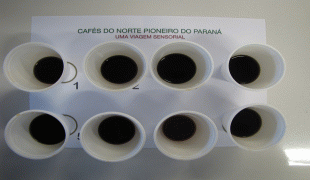
In the 1940s, the northern part of the state was settled as a result of the expansion of the São Paulo coffee industry. The south-eastern part of the state was settled as a result of migration from Rio Grande do Sul.
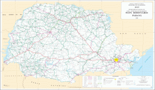
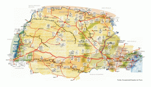
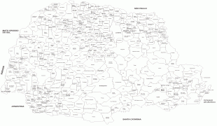
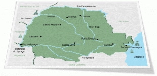
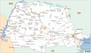
Map - Paraná (Paraná)
Map


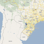

Country - Brazil


Currency / Language
| ISO | Currency | Symbol | Significant figures |
|---|---|---|---|
| BRL | Brazilian real | R$ | 2 |
| ISO | Language |
|---|---|
| EN | English language |
| FR | French language |
| PT | Portuguese language |
| ES | Spanish language |


