Murmansk Oblast (Murmansk Oblast)
 |
 |
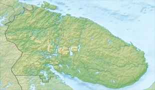
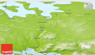
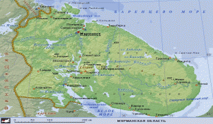
Geographically, Murmansk Oblast is located mainly on the Kola Peninsula almost completely north of the Arctic Circle and is a part of the larger Sápmi (Lapland) region that spans over four countries. The oblast borders with the Republic of Karelia in Russia in the south, Lapland Region in Finland in the west, Troms and Finnmark County in Norway in the northwest, and is bounded by the Barents Sea in the north and the White Sea in the south and east. Arkhangelsk Oblast of Russia lies across the White Sea.
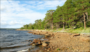
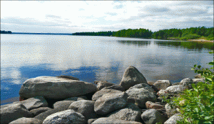
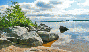
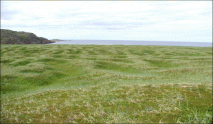
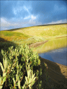
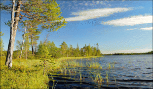
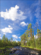
Much of the oblast's relief is hilly, with the Khibiny and Lovozero ranges rising as high as 1200 m above sea level and stretching from west to east. The highest point of Murmansk Oblast is Yudychvumchorr, a flat-topped peak of the Khibiny. The north of the oblast is mostly covered by tundra; forest tundra prevails further south, while the southern regions are in the taiga zone. There are over 100,000 lakes and 18,000 rivers in the oblast. The coast contains the Rybachy Peninsula and the Cape Svyatoy Nos peninsulas.
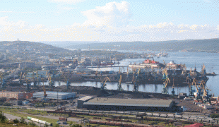
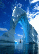
The climate is harsh and unstable, due to the proximity of the Gulf Stream on one side and Arctic cold fronts on the other. Sharp temperature changes, high winds, and abundant precipitation are common throughout the year, with the heating season lasting for ten straight months. However, the waters of the Murman Coast in the south remain warm enough to remain ice-free even in winter.
There is also a large number of islands belonging to the oblast, the main ones being (west to east) the Aynovy Islands, Bolshoy Oleny Island, Kildin Island Malyy Oleniy Island, Kharlov Island, Vesknyak Island, Litskiye Island, Nokuyev Island, Vitte Island, Lumbovskiy Island, Goryainov Island and Sosnovets Island.
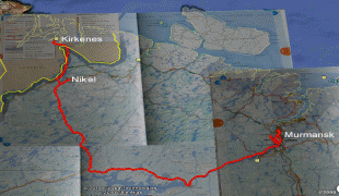
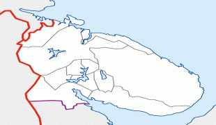
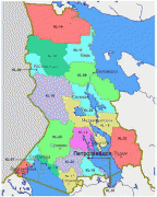
Map - Murmansk Oblast (Murmansk Oblast)
Map


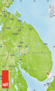
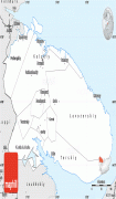

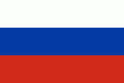
Country - Russia
 |
 |
| Flag of Russia | |
The East Slavs emerged as a recognisable group in Europe between the 3rd and 8th centuries CE. The first East Slavic state, Kievan Rus', arose in the 9th century, and in 988, it adopted Orthodox Christianity from the Byzantine Empire. Rus' ultimately disintegrated, with the Grand Duchy of Moscow growing to become the Tsardom of Russia. By the early 18th century, Russia had vastly expanded through conquest, annexation, and the efforts of Russian explorers, developing into the Russian Empire, which remains the third-largest empire in history. However, with the Russian Revolution in 1917, Russia's monarchic rule was abolished and replaced by the Russian SFSR—the world's first constitutionally socialist state. Following the Russian Civil War, the Russian SFSR established the Soviet Union (with three other Soviet republics), within which it was the largest and principal constituent. At the expense of millions of lives, the Soviet Union underwent rapid industrialization in the 1930s, and later played a decisive role for the Allies of World War II by leading large-scale efforts on the Eastern Front. With the onset of the Cold War, it competed with the United States for global ideological influence; the Soviet era of the 20th century saw some of the most significant Russian technological achievements, including the first human-made satellite and the first human expedition into outer space.
Currency / Language
| ISO | Currency | Symbol | Significant figures |
|---|---|---|---|
| RUB | Russian ruble | ₽ | 2 |
| ISO | Language |
|---|---|
| CE | Chechen language |
| CV | Chuvash language |
| KV | Komi language |
| RU | Russian language |
| TT | Tatar language |


