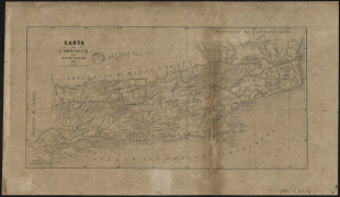
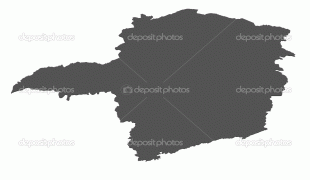
Minas Gerais (Minas Gerais)
 |
 |
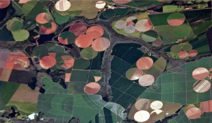
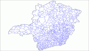
With an area of 586,528 km2—larger than Metropolitan France—it is the fourth most extensive state in Brazil. The main producer of coffee and milk in the country, Minas Gerais is known for its heritage of architecture and colonial art in historical cities such as São João del-Rei, Congonhas, Ouro Preto, Diamantina, Tiradentes, Mariana, Sabará and Serro. In the south, the tourist points are the hydro-mineral spas, such as Caxambu, Lambari, São Lourenço, Poços de Caldas, São Thomé das Letras, Monte Verde (a district of the municipality of Camanducaia) and the national parks of Caparaó and Canastra. The landscape of the state is marked by mountains, valleys, and large areas of fertile lands. In the Serra do Cipó, Sete Lagoas, Cordisburgo and Lagoa Santa, the caves and waterfalls are the attractions. Some of Brazil's most famous caves are located there.
Two interpretations are given for the origin of the name Minas Gerais. It comes from "Minas dos Matos Gerais", the former name of the colonial province ("Mines of the General Woods").
The first interpretation is that the name simply means "General Mines", with the word Gerais serving as an adjective to the mines, which were themselves spread in several spots around a larger region.
The second interpretation is that this ignores the two large geographical spaces which conformed the state in its history: the region of the mines (Minas), and the region of the Gerais ("Matos Gerais" or "Campos Gerais", which means something close to "General Fields"). These corresponded to the areas of sertão which were farther and hard to access (with an economy based on farming and agriculture) from the mining spots (whose economic space was urban from its origin).
The confusion comes from the fact that the term "Gerais" is taken as an adjective to "Minas" in the first version, although according to this point of view it refers to the region called Gerais (as a noun). A further complication is that this is not a well-defined area on the map of the state, but rather a designation to these parts outside the mining spots, more related to the geography of Sertão, and more isolated from the state's nucleus.
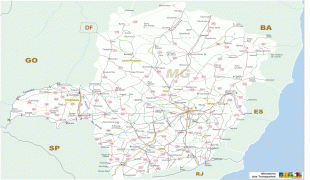
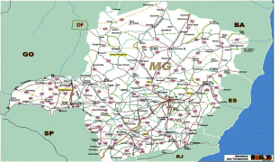
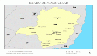
Map - Minas Gerais (Minas Gerais)
Map


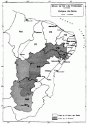
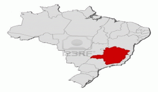


Country - Brazil


Currency / Language
| ISO | Currency | Symbol | Significant figures |
|---|---|---|---|
| BRL | Brazilian real | R$ | 2 |
| ISO | Language |
|---|---|
| EN | English language |
| FR | French language |
| PT | Portuguese language |
| ES | Spanish language |


