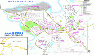
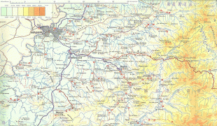
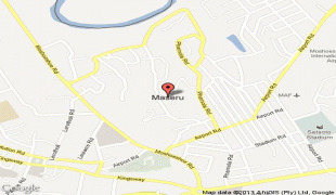
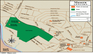
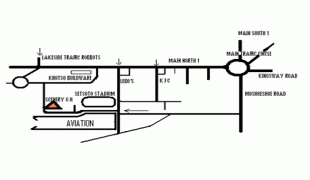
Maseru
Maseru was founded by the British as a small police camp in 1869, following the conclusion of the Free State–Basotho Wars when Basutoland became a British protectorate. Maseru is located at the edge of the "conquered territories" relinquished to the Orange Free State (now the Free State province of South Africa) as part of the peace terms. It was located 24 km west of Basotho King Moshoeshoe I's stronghold of Thaba Bosiu, the previous de facto capital. A bustling market town soon grew around the area.
Maseru initially functioned as the state's administrative capital between 1869 and 1871, before administration of Basutoland was transferred to the Cape Colony. During their rule between 1871 and 1884, Basutoland was treated similarly to territories that had been forcefully annexed, much to the chagrin of the Basotho. This led to the Gun War in 1881 and the burning of many buildings in Maseru. In 1884, Basutoland was restored to its status as a Crown colony, and Maseru was again made capital. When Basutoland gained its independence and became the Kingdom of Lesotho in 1966, Maseru remained the country's capital.
Prior to Lesotho's independence, Maseru had remained relatively small; it was contained within well-defined colonial boundaries and had little room for growth, while the British had little interest in developing the city. After 1966 Maseru experienced rapid expansion: its area increased around sevenfold, from around 20 km2 to the current area of 138 km2, due to incorporation of nearby peri-urban villages to the city proper. The annual population growth rates remained around 7% for several decades, before tapering off to around 3.5% between 1986 and 1996.
After the 1998 parliamentary elections in Lesotho led to suspicions of vote fraud and a military intervention by South Africa, much of the city was damaged by riots and pillaging. The cost of repairing the damage done to the city was estimated at around two billion rand (US$350 million), and until almost 2008, the effects of the riots could still be seen within the city.
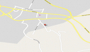
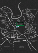
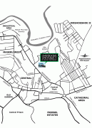
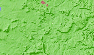
Map - Maseru
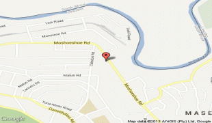
Map


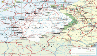

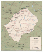
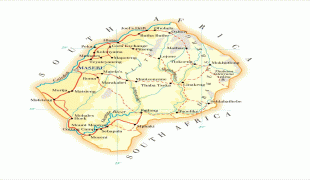

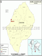
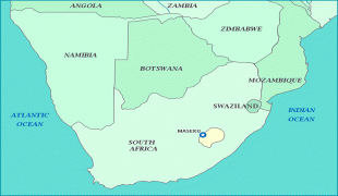
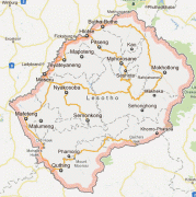
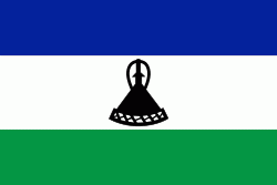
Country - Lesotho
 |
 |
| Flag of Lesotho | |
It was previously the British Crown colony of Basutoland, which was given independence by the United Kingdom on 4 October 1966. It is a fully sovereign state and is a member of the United Nations, the Commonwealth of Nations, the African Union, and the Southern African Development Community. The name Lesotho roughly translates to "land of the Sotho".
Currency / Language
| ISO | Currency | Symbol | Significant figures |
|---|---|---|---|
| LSL | Lesotho loti | L | 2 |
| ZAR | South African rand | Rs | 2 |
| ISO | Language |
|---|---|
| EN | English language |
| ST | Sotho language |
| XH | Xhosa language |
| ZU | Zulu language |