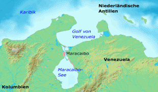
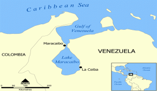
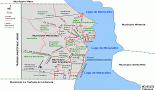
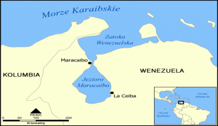
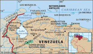
Maracaibo
 |
 |
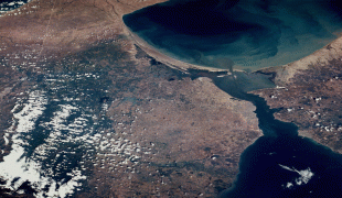
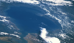
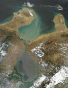
Maracaibo is considered the economic center of western Venezuela, owing to the petroleum industry that developed in the shores of Lake Maracaibo. It is sometimes known as "The First City of Venezuela", for being the first city in Venezuela to adopt various types of public services, including electricity, as well as for being located in the shores of Lake Maracaibo, where the name of Venezuela allegedly originates.
Early indigenous settlements around the area were of Arawak and Carib origin. Maracaibo's founding date is disputed. There were failed attempts to found the city—in 1529, by Captain Ambrosio Ehinger, and in 1569, by Captain Alonso Pacheco. Founded in 1574 as Nueva Zamora de la Laguna de Maracaibo by Captain Pedro Maldonado, the city became a transshipment point for inland settlements after Gibraltar, at the head of the lake, had been destroyed by pirates in 1669. It was not until the first decades of the 17th century that the first town was settled. Petroleum was discovered in 1917, leading to a large increase in population from migration.
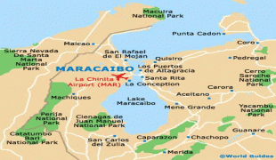
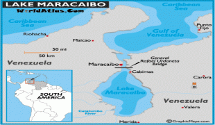
Maracaibo is served by La Chinita International Airport. The General Rafael Urdaneta Bridge connects Maracaibo to the rest of the country.
The name Maracaibo is said to come from the brave cacique (Indigenous chief) Mara, a young native who valiantly resisted the Spaniards and died fighting them. Legend says that when Mara fell, the Coquivacoa shouted "Mara kayó!" (Mara fell!), thus originating the city name—although it would be strange for them to shout in Spanish. Other historians say that the first name of this land in the local language was "Maara-iwo" meaning "Place where serpents abound".
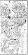
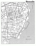
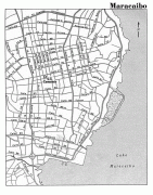
Map - Maracaibo
Map


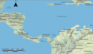

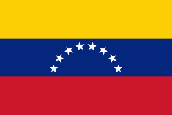
Country - Venezuela

Currency / Language
| ISO | Currency | Symbol | Significant figures |
|---|---|---|---|
| VES | Venezuelan bolÃvar | BsS. or Bs. | 2 |
| ISO | Language |
|---|---|
| ES | Spanish language |