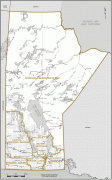
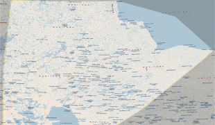
Manitoba
 |
 |
Indigenous peoples have inhabited what is now Manitoba for thousands of years. In the early 17th century, British and French fur traders began arriving in the area and establishing settlements. The Kingdom of England secured control of the region in 1673 and created a territory named Rupert's Land, which was placed under the administration of the Hudson's Bay Company. Rupert's Land, which included all of present-day Manitoba, grew and evolved from 1673 until 1869 with significant settlements of Indigenous and Métis people in the Red River Colony. In 1869, negotiations with the Government of Canada for the creation of the province of Manitoba commenced. During the negotiations, several factors led to an armed uprising of the Métis people against the Government of Canada, a conflict known as the Red River Rebellion. The resolution of the conflict and further negotiations led to Manitoba becoming the fifth province to join Canadian Confederation, when the Parliament of Canada passed the Manitoba Act on July 15, 1870.
Manitoba's capital and largest city is Winnipeg, the seventh most populous municipality in Canada. Winnipeg is the seat of government, home to the Legislative Assembly of Manitoba and the Provincial Court. Four of the province's five universities, all four of its professional sports teams, and most of its cultural activities (including Festival du Voyageur and Folklorama) are located in Winnipeg. The city has train and bus stations and an international airport; a Canadian Forces base, CFB Winnipeg, operates from the airport and is the regional headquarters of the North American Aerospace Defense Command.
The name Manitoba possibly derives from either Cree manitou-wapow or Ojibwe manidoobaa, both meaning "straits of Manitou, the Great Spirit." Alternatively, it may be from the Assiniboine "minnetoba," meaning "Lake of the Prairie" (the lake was known to French explorers as Lac des Prairies). The name was chosen by Thomas Spence for the new republic he proposed for the area south of the lake. Métis leader Louis Riel preferred the name over the proposed alternative of "Assiniboia." It was accepted in Ottawa under the Manitoba Act of 1870.
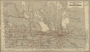
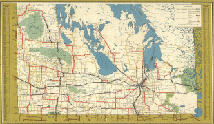
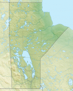
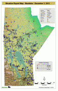
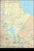
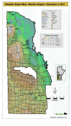
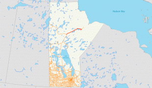
Map - Manitoba
Map


Country - Canada
 |
 |
| Flag of Canada | |
Indigenous peoples have continuously inhabited what is now Canada for thousands of years. Beginning in the 16th century, British and French expeditions explored and later settled along the Atlantic coast. As a consequence of various armed conflicts, France ceded nearly all of its colonies in North America in 1763. In 1867, with the union of three British North American colonies through Confederation, Canada was formed as a federal dominion of four provinces. This began an accretion of provinces and territories and a process of increasing autonomy from the United Kingdom. This widening autonomy was highlighted by the Statute of Westminster 1931 and culminated in the Canada Act 1982, which severed the vestiges of legal dependence on the Parliament of the United Kingdom.
Currency / Language
| ISO | Currency | Symbol | Significant figures |
|---|---|---|---|
| CAD | Canadian dollar | $ | 2 |
| ISO | Language |
|---|---|
| EN | English language |
| FR | French language |
| IU | Inuktitut |


