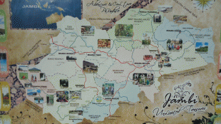
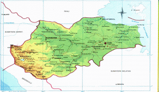
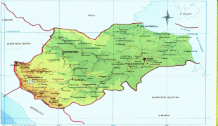
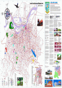
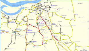
Jambi City (Jambi City)
 |
 |
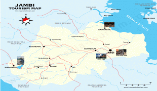
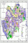
Nearby towns and villages include Mendalo (5.1 nmi), Kinati (4.1 nmi), Padang (4.5 nmi), Tanjungjohor (3.2 nmi), Paalmerah (2.8 nmi), and Muarakumpe (3.6 nmi). Jambi City itself is an enclave within Muaro Jambi Regency.
Jambi is served by the Sultan Thaha Airport.
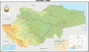
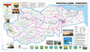
Jambi City was denoted as the administrative capital of the Jambi autonomic area by the Governor of Sumatra on 17 May 1946. In 1956, Jambi City was given its city status, and eventually became the capital of Jambi province on 6 January 1957.
Map - Jambi City (Jambi City)
Map


Country - Indonesia
 |
 |
| Flag of Indonesia | |
As the world's third largest democracy, Indonesia is a presidential republic with an elected legislature. It has 38 provinces, of which nine have special status. The country's capital, Jakarta, is the world's second-most populous urban area. Indonesia shares land borders with Papua New Guinea, East Timor, and the eastern part of Malaysia, as well as maritime borders with Singapore, Vietnam, Thailand, the Philippines, Australia, Palau, and India. Despite its large population and densely populated regions, Indonesia has vast areas of wilderness that support one of the world's highest level of biodiversity.
Currency / Language
| ISO | Currency | Symbol | Significant figures |
|---|---|---|---|
| IDR | Indonesian rupiah | Rp | 2 |
| ISO | Language |
|---|---|
| NL | Dutch language |
| EN | English language |
| ID | Indonesian language |
| JV | Javanese language |