Delta Amacuro (Delta Amacuro)
 |
 |
Delta Amacuro State covers a total surface area of 40,200 km2 and, in 2011, had a census population of 171,413.
Map - Delta Amacuro (Delta Amacuro)
Map


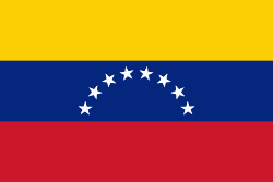
Country - Venezuela

Currency / Language
| ISO | Currency | Symbol | Significant figures |
|---|---|---|---|
| VES | Venezuelan bolÃvar | BsS. or Bs. | 2 |
| ISO | Language |
|---|---|
| ES | Spanish language |