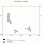
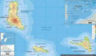
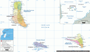
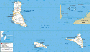
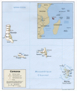
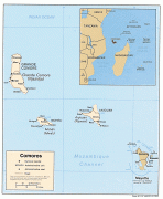
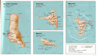
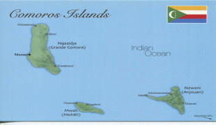
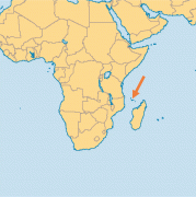
Comoros (Union of the Comoros)
 |
 |
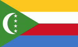
| Flag of the Comoros | |
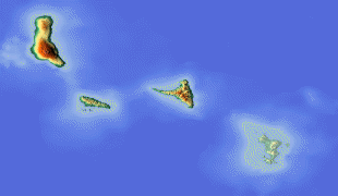
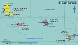
The sovereign state consists of three major islands and numerous smaller islands, all of the volcanic Comoro Islands with the exception of Mayotte. Mayotte voted against independence from France in a referendum in 1974, and continues to be administered by France as an overseas department. France has vetoed United Nations Security Council resolutions that would affirm Comorian sovereignty over the island. Mayotte became an overseas department and a region of France in 2011 following a referendum which was passed overwhelmingly.
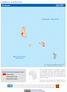
At 1861 km2, the Comoros is the fourth-smallest African country by area. Its population is estimated at 850,886 residents as of 2019.
The Comoros was likely first settled by Austronesian/Malagasy peoples, followed by Bantu speakers from East Africa, and seafaring Arab traders. It became part of the French colonial empire during the 19th century, before its independence in 1975. It has experienced more than 20 coups or attempted coups, with various heads of state assassinated. Along with this constant political instability, it has one of the worst levels of income inequality of any nation, and ranks in the worst quartile on the Human Development Index. , about half the population lived below the international poverty line of US$1.25 a day.
The name "Comoros" derives from the Arabic word قمر qamar ("moon").
Currency / Language
| ISO | Currency | Symbol | Significant figures |
|---|---|---|---|
| KMF | Comoro franc | Fr | 0 |
| ISO | Language |
|---|---|
| AR | Arabic language |
| FR | French language |