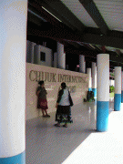
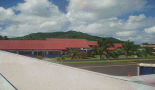
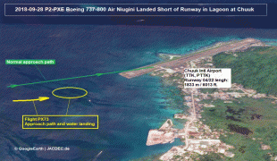
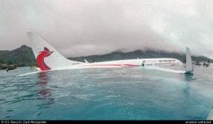
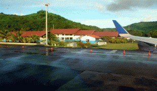
Chuuk International Airport (Chuuk International Airport)
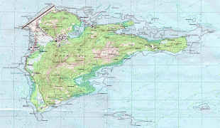
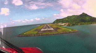
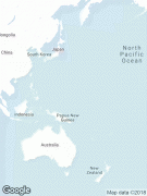
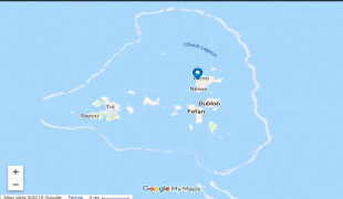
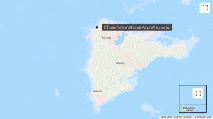
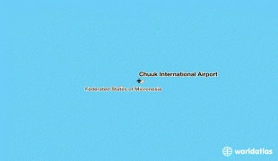
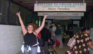
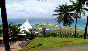
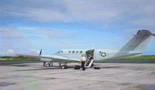
Chuuk International Airport is an airport located on Weno (formerly Moen), the main island of the State of Chuuk (formerly Truk) in the Federated States of Micronesia.
Chuuk International Airport was originally built by Japan between November and December 1942. Back then it was known as Harushima Airfield to the Japanese or Moen Air Field 1. With around 80 support buildings including a large hangar and underground storage for fuel and ammunition, it was used by fighter, bomber and reconnaissance aircraft at Naval Base Truk. Between October 4, 1944 and June 27, 1945, the airfield was attacked by USAAF aircraft.
Chuuk International Airport was originally built by Japan between November and December 1942. Back then it was known as Harushima Airfield to the Japanese or Moen Air Field 1. With around 80 support buildings including a large hangar and underground storage for fuel and ammunition, it was used by fighter, bomber and reconnaissance aircraft at Naval Base Truk. Between October 4, 1944 and June 27, 1945, the airfield was attacked by USAAF aircraft.
| IATA Code | TKK | ICAO Code | PTKK | FAA Code | |
|---|---|---|---|---|---|
| Telephone | Fax | ||||
| Home page |
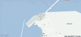
Map - Chuuk International Airport (Chuuk International Airport)
Map


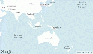


Country - Federated_States_of_Micronesia
 |
 |
| Flag of the Federated States of Micronesia | |
While the FSM's total land area is quite small, the country's waters occupy nearly 3 e6km2 of the Pacific Ocean, giving the country the 14th-largest exclusive economic zone in the world. The sovereign island nation's capital is Palikir, located on Pohnpei Island, while the largest city is Weno, located in the Chuuk Atoll.
Currency / Language
| ISO | Currency | Symbol | Significant figures |
|---|---|---|---|
| USD | United States dollar | $ | 2 |
| ISO | Language |
|---|---|
| EN | English language |