Cañete (Cañete)
 |
Map - Cañete (Cañete)
Map


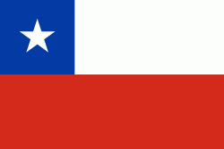
Country - Chile

Currency / Language
| ISO | Currency | Symbol | Significant figures |
|---|---|---|---|
| CLP | Chilean peso | $ | 0 |
| CLF | Unidad de Fomento | 4 |
| ISO | Language |
|---|---|
| ES | Spanish language |
|
| ISO | Currency | Symbol | Significant figures |
|---|---|---|---|
| CLP | Chilean peso | $ | 0 |
| CLF | Unidad de Fomento | 4 |
| ISO | Language |
|---|---|
| ES | Spanish language |