Balikpapan
 |
With a population of 688,318 according to the 2020 census, and an official estimate of 695,287 as at mid 2021, Balikpapan is the second most populous city in East Kalimantan, after Samarinda. Balikpapan has been consistently ranked as one of the most liveable cities in Indonesia.
Balikpapan was originally a fishing village built by Buginese people in the 19th century. The first oil drilling began in Balikpapan on 10 February 1897, which was later set as the anniversary of the city. In 1899, the Dutch East Indies colonial administration granted a township status to Balikpapan. In 1907, Bataafsche Petroleum Maatschappij (BPM) made the city as its headquarters and imported skilled laborers, engineers, and managers from overseas. Subsequently, numerous multi-national companies came to Balikpapan to invest in the oil industry. This resulted in the economic boom of Balikpapan and attracted many migrants and expatriates.
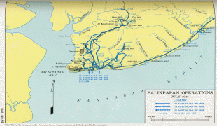
During World War II, the Empire of Japan occupied the city in 1942, as part of the occupation of Indonesia, and it was bombed by the Allies in first Balikpapan Battle in 1942 and second battle in 1945. The battles impacted critical infrastructure, including the oil refinery stations and seaport which were completely burned to the ground. Upon Indonesia's independence, BPM extended its activities in Balikpapan until 1965 when Pertamina, the Indonesian state-owned oil company, took control over the ownership of BPM and its oil exploration activities.
There are several popular stories and legends explaining the origin of Balikpapan:
* The 10 pieces of board returned to Jenebora from the 1,000 pieces requested by the Sultan of Kutai as donations of building materials for the construction of the New Kutai Palace. The ten boards that were returned were referred to by the people of Kutai as Balikpapan Tu. So that the area along Balikpapan Bay, precisely in Jenebora is called Balikpapan.
* Tribe of Pasir Balik (native people of Balikpapan) is a descendant of grandfather and grandmother named Kayun Kuleng and Papan Ayun. So that the area along Balikpapan Bay by its descendants is called Kuleng-Papan or means Balikpapan (in Paser, Kuleng means Balik).
* In other legends it is also mentioned the origin of Balikpapan, namely from a daughter who was released by her father a king who did not want his daughter to fall into the hands of the enemy. The daughter who was still a toddler was tied up on several pieces of board in a state of lying. Because it was carried away and hit by waves, the board was reversed. When the board was stranded on the shore found by a fisherman and so it turned out that there was a daughter who was still bound. It is said that the princess was named Putri Petung who came from the Kingdom of Sand. So that the area where it was found was called Balikpapan.
The city has had several nicknames throughout its history such as the Oil City, City of Believers (Kota Beriman), which uniquely "BERIMAN" word is acronym from: BERsih (clean), Indah (magnificent), dan nyaMAN (comfortable).
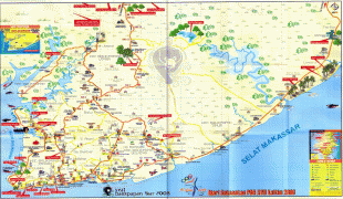
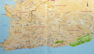
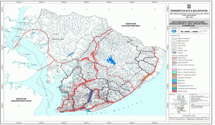
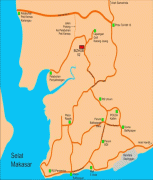
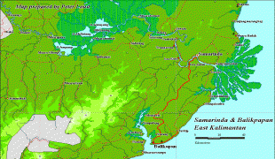
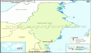
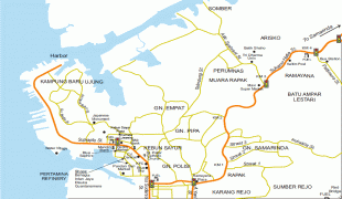
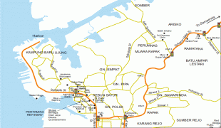
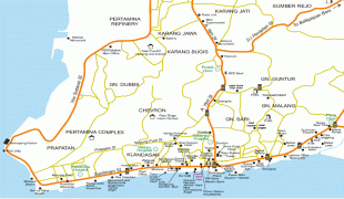
Map - Balikpapan
Map
Country - Indonesia
 |
 |
| Flag of Indonesia | |
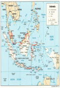
As the world's third largest democracy, Indonesia is a presidential republic with an elected legislature. It has 38 provinces, of which nine have special status. The country's capital, Jakarta, is the world's second-most populous urban area. Indonesia shares land borders with Papua New Guinea, East Timor, and the eastern part of Malaysia, as well as maritime borders with Singapore, Vietnam, Thailand, the Philippines, Australia, Palau, and India. Despite its large population and densely populated regions, Indonesia has vast areas of wilderness that support one of the world's highest level of biodiversity.
Currency / Language
| ISO | Currency | Symbol | Significant figures |
|---|---|---|---|
| IDR | Indonesian rupiah | Rp | 2 |
| ISO | Language |
|---|---|
| NL | Dutch language |
| EN | English language |
| ID | Indonesian language |
| JV | Javanese language |


