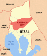
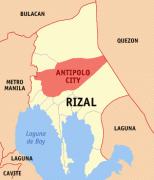
Antipolo
 |
Antipolo was converted from a municipality into a component city of Rizal Province on April 4, 1998, under Republic Act No. 8508. A new provincial capitol building was inaugurated in the city in March 2009 to replace the old capitol in Pasig, which has long been outside the jurisdiction of Rizal Province, since Pasig was included in Metro Manila in 1975. With the transfer of the provincial government to Antipolo, it is highly favored to be officially designated as the new capital of the province. On March 14, 2011, Antipolo was declared according to Proclamation No. 124 s. 2011 a highly-urbanized city by then President Benigno S. Aquino; however, the proclamation has yet to be ratified in a plebiscite. Pending a plebiscite, Antipolo is the most populated city in the Philippines under a component city status. On June 19, 2020, President Rodrigo Duterte signed Republic Act 11475, designating Antipolo City as the official capital of Rizal Province. It took effect on July 7, 2020.
The city is popular for being a pilgrimage site. It prides itself as the "Pilgrimage Capital of the Philippines". The Marian image of the Our Lady of Peace and Good Voyage or the Virgin of Antipolo, which was brought in from Mexico in 1626, and enshrined in the Antipolo Cathedral has a continuous following among Filipino Catholics since the Spanish colonial era. A popular custom of pilgrimages to the Virgin of Antipolo is the trek going to its shrine on the eves of Good Friday and May 1, from various locations in Rizal Province and Metro Manila. The most notable of these pilgrimages would begin the trek from the Minor Basilica of the Black Nazarene (Quiapo Church), in Quiapo, Manila following the procession of the image. There is also an existing custom to have new cars blessed at the church in the belief that this will ensure the safety of the car and its passengers, and also preferred by outgoing OFWs to ensure their success in abroad.
Its higher elevation than that of Metro Manila affords it a scenic view of the metropolis, especially at night. Its locally grown mangoes and cashews are popular among tourists, as well as suman – a local delicacy made out of glutinous rice. The Hinulugang Taktak National Park, which was once a popular summer get-away is being restored to become again one of the city's primary attractions because it was devastated by a typhoon.
The city was named after the tipolo (breadfruit) tree (Artocarpus blancoi), which was in abundance in the area.
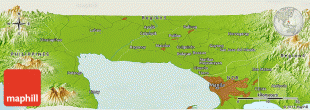
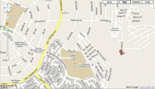
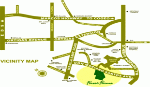
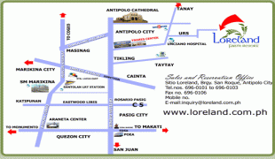
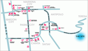
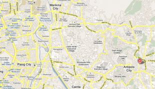
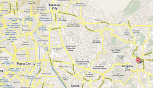
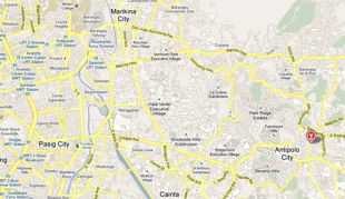
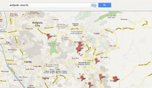
Map - Antipolo
Map
Country - Philippines
 |
 |
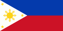
| Flag of the Philippines | |
Negritos, some of the archipelago's earliest inhabitants, were followed by successive waves of Austronesian peoples. Adoption of animism, Hinduism and Islam established island-kingdoms called Kedatuan, Rajahnates, and Sultanates. The arrival of Ferdinand Magellan, a Portuguese explorer leading a fleet for Spain, marked the beginning of Spanish colonization. In 1543, Spanish explorer Ruy López de Villalobos named the archipelago Las Islas Filipinas in honor of Philip II of Spain. Spanish settlement through Mexico, beginning in 1565, led to the Philippines becoming ruled by the Spanish Empire for more than 300 years. During this time, Catholicism became the dominant religion, and Manila became the western hub of trans-Pacific trade. In 1896, the Philippine Revolution began, which then became entwined with the 1898 Spanish–American War. Spain ceded the territory to the United States, while Filipino revolutionaries declared the First Philippine Republic. The ensuing Philippine–American War ended with the United States establishing control over the territory, which they maintained until the Japanese invasion of the islands during World War II. Following liberation, the Philippines became independent in 1946. Since then, the unitary sovereign state has often had a tumultuous experience with democracy, which included the overthrow of a decades-long dictatorship by a nonviolent revolution.
Currency / Language
| ISO | Currency | Symbol | Significant figures |
|---|---|---|---|
| PHP | Philippine peso | ₱ | 2 |
| ISO | Language |
|---|---|
| EN | English language |
| TL | Tagalog language |


