Amman
 |
 |
The earliest evidence of settlement in Amman dates to the 8th millennium BC, in a Neolithic site known as 'Ain Ghazal, where the world's oldest statues of the human form have been unearthed. During the Iron Age, the city was known as Rabat Aman and served as the capital of the Ammonite Kingdom. In the 3rd century BC, Ptolemy II Philadelphus, Pharaoh of Ptolemaic Egypt, rebuilt the city and renamed it "Philadelphia", making it a regional center of Hellenistic culture. Under Roman rule, Philadelphia was one of the ten Greco-Roman cities of the Decapolis before being directly ruled as part of the Arabia Petraea province. The Rashidun Caliphate conquered the city from the Byzantines in the 7th century AD, restored its ancient Semitic name and called it Amman. Throughout most of the Middle Ages, the city alternated between periods of devastation and abandonment and periods of relative prosperity as the center of the Balqa region. Amman was largely abandoned from the 15th century until 1878, when Ottoman authorities began settling Circassians there.
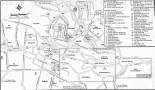
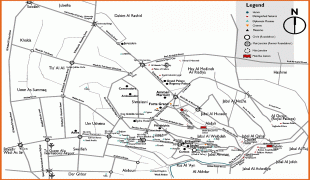
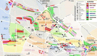
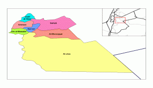
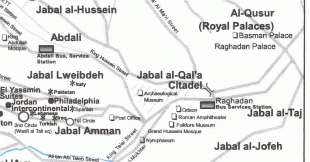
Amman's first municipal council was established in 1909. The city witnessed rapid growth after its designation as Transjordan's capital in 1921, receiving migrations from different Jordanian and Levantine cities, and later several successive waves of refugees: Palestinians in 1948 and 1967; Iraqis in 1990 and 2003; and Syrians since 2011. It was initially built on seven hills, but now spans over 19 hills combining 22 areas, which are administered by the Greater Amman Municipality. Areas of Amman have gained their names from either the hills (jabal) or the valleys (wadi) they occupy, such as Jabal Lweibdeh and Wadi Abdoun. East Amman is predominantly filled with historic sites that frequently host cultural activities, while West Amman is more modern and serves as the economic center of the city.
Approximately one million visitors arrived in Amman in 2018, which made it the 89th most-visited city in the world and the 12th most-visited Arab city. Amman has a relatively fast growing economy, and it is ranked as a Beta− global city by the Globalization and World Cities Research Network. Moreover, it was named one of the Middle East and North Africa's best cities according to economic, labor, environmental, and socio-cultural factors. The city is among the most popular locations in the Arab world for multinational corporations to set up their regional offices, alongside Doha and only behind Dubai. The city is served by the Amman Bus and the Amman Bus Rapid Transit public transportation systems. Another BRT system under-construction will connect the city to nearby Zarqa.
Amman derives its name from the ancient people of the Ammonites, whose capital the city had been since the 13th century BCE. The Ammonites named it ??? ???, Rabat ʻAmmān, with the term Rabat meaning the "Capital" or the "King's Quarters". In the Hebrew Bible, Rabat ʻAmmān is referred to as "Rabbat Bnei ʿAmmon" (Biblical Hebrew:, Tiberian Hebrew Rabbaṯ Bəne ʿAmmôn), shortened in Modern Hebrew to "Rabbat Ammon" , and appears in English translations as "Rabbath Ammon". Ptolemy II Philadelphus, the Macedonian ruler of the Ptolemaic Kingdom who reigned from 283 to 246 BC, renamed the city "Philadelphia" (Φιλαδέλφεια; literally: "brotherly love"), after himself, after occupying it. By the Islamic era, the Rashidun Caliphate restored its ancient semitic name and called it Amman in the 7th century AD.
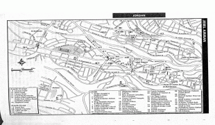
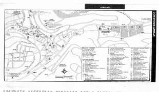
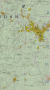
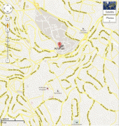
Map - Amman
Map
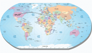
Country - Jordan
 |
 |
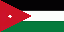
| Flag of Jordan | |
Modern-day Jordan has been inhabited by humans since the Paleolithic period. Three stable kingdoms emerged there at the end of the Bronze Age: Ammon, Moab and Edom. In the third century BC, the Arab Nabataeans established their Kingdom with Petra as the capital. Later rulers of the Transjordan region include the Assyrian, Babylonian, Roman, Byzantine, Rashidun, Umayyad, Abbasid, and the Ottoman empires. After the Great Arab Revolt against the Ottomans in 1916 during World War I, the Greater Syria region was partitioned by Britain and France. The Emirate of Transjordan was established in 1921 by the Hashemite, then Emir, Abdullah I, and the emirate became a British protectorate. In 1946, Jordan gained independence and became officially known in Arabic as the Hashemite Kingdom of Jordan. The country captured the West Bank during the 1948 Arab–Israeli War and annexed it until it was lost to Israel in 1967. Jordan renounced its claim to the territory in 1988, and became the second Arab state to sign a peace treaty with Israel in 1994.
Currency / Language
| ISO | Currency | Symbol | Significant figures |
|---|---|---|---|
| JOD | Jordanian dinar | دا | 3 |
| ISO | Language |
|---|---|
| AR | Arabic language |
| EN | English language |


