Amazonas (Amazonas)
 |
 |
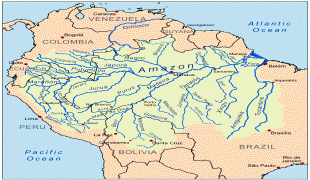
Amazonas is named after the Amazon River, and was formerly part of the Spanish Empire's Viceroyalty of Peru, a region called Spanish Guyana. It was settled by the Portuguese moving northwest from Brazil in the early 18th century and incorporated into the Portuguese empire after the Treaty of Madrid in 1750. It became a state under the First Brazilian Republic in 1889.
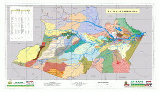
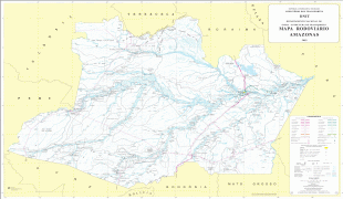
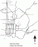
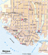
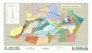
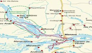
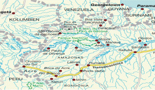
Most of the state is tropical jungle; cities are clustered along navigable waterways and are accessible only by boat or plane. The capital and largest city is Manaus, a modern city of 2.1 million inhabitants in the middle of the jungle on the Amazon River, 1,500 km upstream from the Atlantic Ocean. Nearly half the state's population lives in the city; the other large cities, Parintins, Manacapuru, Itacoatiara, Tefé, and Coari are also along the Amazon River in the eastern half of the state.
The name was originally given to the Amazon River that runs through the state by the Spaniard Francisco de Orellana in 1541. Claiming to have come across a warlike tribe of Natives, with whom he fought, he likened them to the Amazons of Greek mythology, giving them the same name of Río de las Amazonas.
Map - Amazonas (Amazonas)
Map


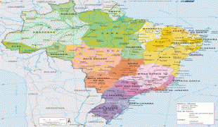
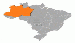

Country - Brazil


Currency / Language
| ISO | Currency | Symbol | Significant figures |
|---|---|---|---|
| BRL | Brazilian real | R$ | 2 |
| ISO | Language |
|---|---|
| EN | English language |
| FR | French language |
| PT | Portuguese language |
| ES | Spanish language |


