Åland Islands (Åland Islands)
 |
 |
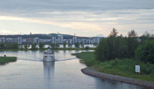
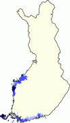
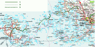
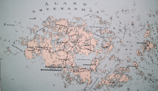
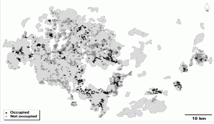
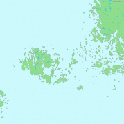
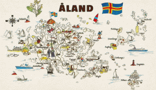
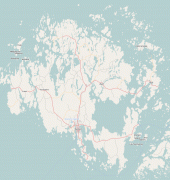
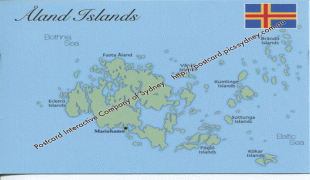
Åland is situated in an archipelago, called the Åland Islands, at the entrance to the Gulf of Bothnia in the Baltic Sea belonging to Finland. It comprises Fasta Åland on which 90% of the population resides and about 6,500 skerries and islands to its east. Of Åland's thousands of islands, about 60–80 are inhabited. Fasta Åland is separated from the coast of Roslagen in Sweden by 38 km of open water to the west. In the east, the Åland archipelago is contiguous with the Finnish archipelago. Åland's only land border is located on the uninhabited skerry of Märket, which it shares with Sweden. From Mariehamn, there is a ferry distance of about 160 km to Turku, a coastal city of mainland Finland, and also to Stockholm, the capital of Sweden.
Åland's autonomous status means that those provincial powers normally exercised by representatives of the central Finnish government are largely exercised by its own government. The current demilitarised, neutral position of Åland dates back to the days of the Paris Peace Treaty after the Åland War in the 1850s. 2022 marked the 100th anniversary of the autonomous status.
The autonomous status of Åland was affirmed by a decision made by the League of Nations in 1921 following the Åland Islands dispute. It was reaffirmed within the treaty admitting Finland to the European Union. By law, Åland is politically neutral and entirely demilitarised, and residents are exempt from conscription to the Finnish Defence Forces. Åland was granted extensive autonomy by the Parliament of Finland in the Act on the Autonomy of Åland of 1920, which was later replaced by new legislation by the same name in 1951 and 1991. The constitution of Finland defines a "constitution of Åland" by referring to this act. Åland remains exclusively Swedish-speaking by this act. Although a referendum to join the European Union had been held in mainland Finland on 16 October 1994, Åland held a separate vote on 20 November as they were a separate customs jurisdiction. EU membership was approved by 73.64% of voters. In connection with Finland's admission to the European Union, a protocol was signed concerning Åland that stipulates, among other things, that provisions of the European Community Treaty shall not force a change of the existing restrictions for foreigners (i.e., persons who do not enjoy "home region rights"—hembygdsrätt—in Åland) to acquire and hold real property or to provide certain services.