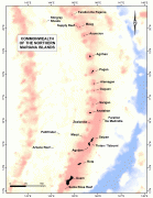
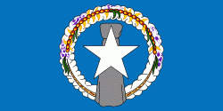
Nördliche Marianen (Commonwealth of the Northern Mariana Islands)
 |
 |
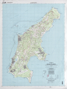
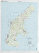
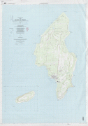
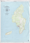
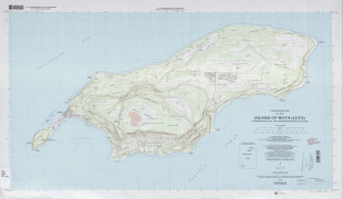
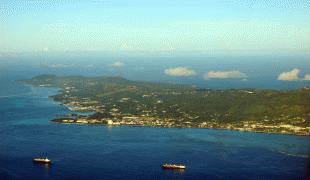
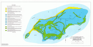
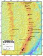
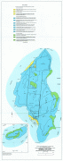
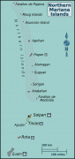
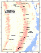
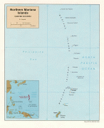
Das Gebiet besteht aus 16 Inseln, die sich über 500 Kilometer erstrecken und von denen Saipan, Tinian und Rota die größten sind. 2009 wurde dort das Marianas Trench Marine National Monument ausgewiesen.